MyTopo
Panther Gulch West Texas US Topo Map
Couldn't load pickup availability
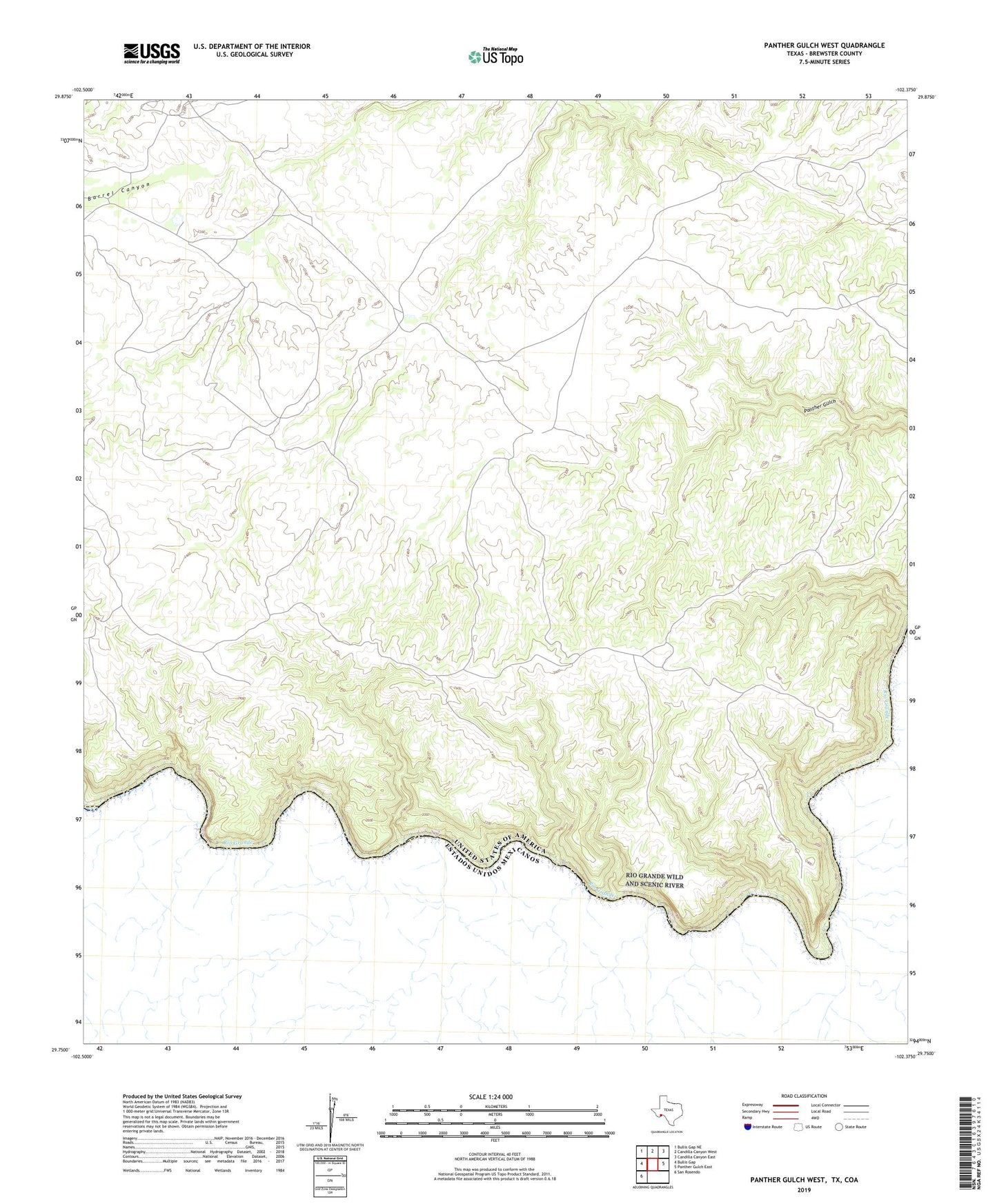
2022 topographic map quadrangle Panther Gulch West in the state of Texas. Scale: 1:24000. Based on the newly updated USGS 7.5' US Topo map series, this map is in the following counties: Brewster. The map contains contour data, water features, and other items you are used to seeing on USGS maps, but also has updated roads and other features. This is the next generation of topographic maps. Printed on high-quality waterproof paper with UV fade-resistant inks.
Quads adjacent to this one:
West: Bullis Gap
Northwest: Bullis Gap NE
North: Candilla Canyon West
Northeast: Candilla Canyon East
East: Panther Gulch East
Southwest: San Rosendo
This map covers the same area as the classic USGS quad with code o29102g4.
Contains the following named places: