MyTopo
Bundy Ranch Texas US Topo Map
Couldn't load pickup availability
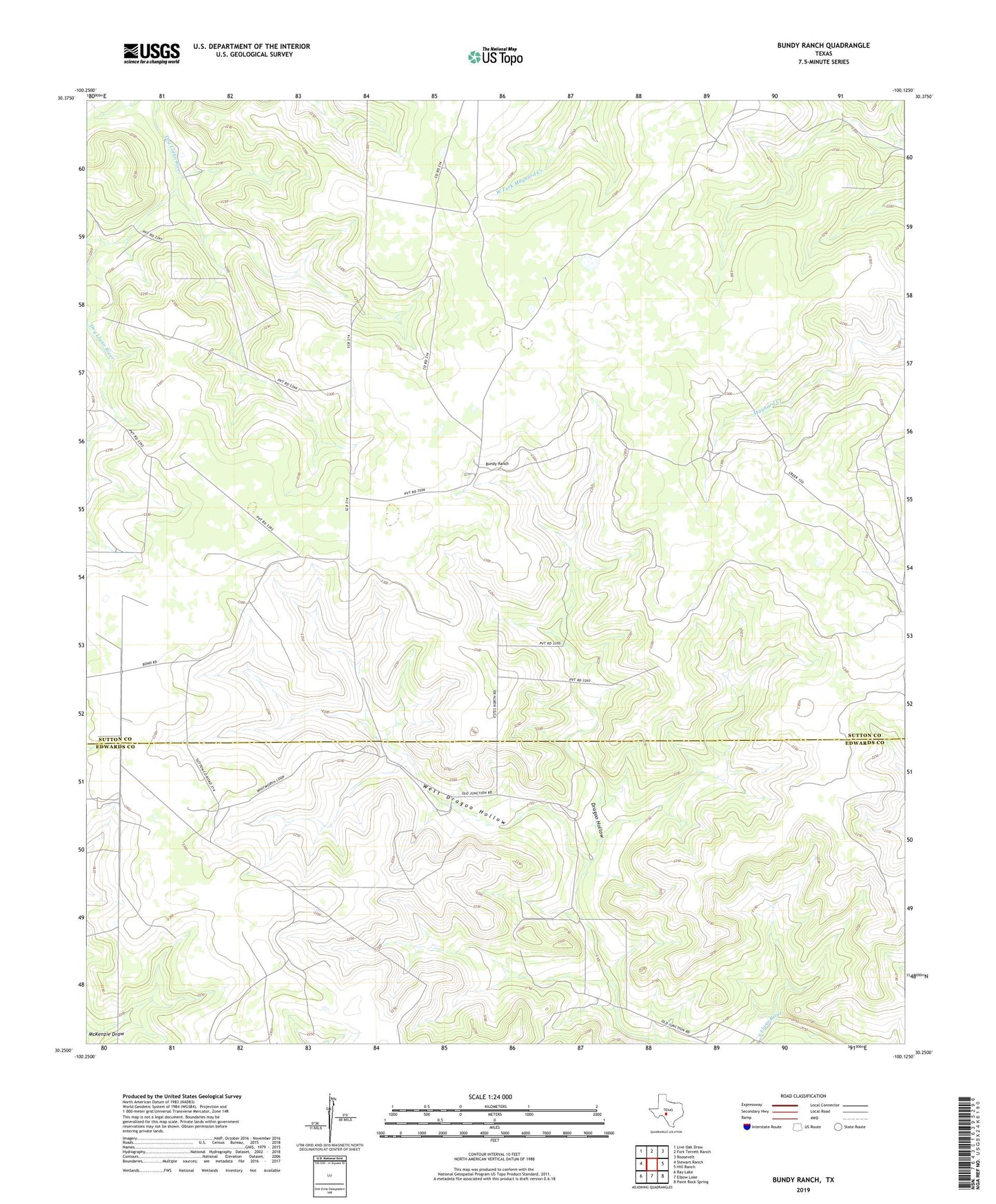
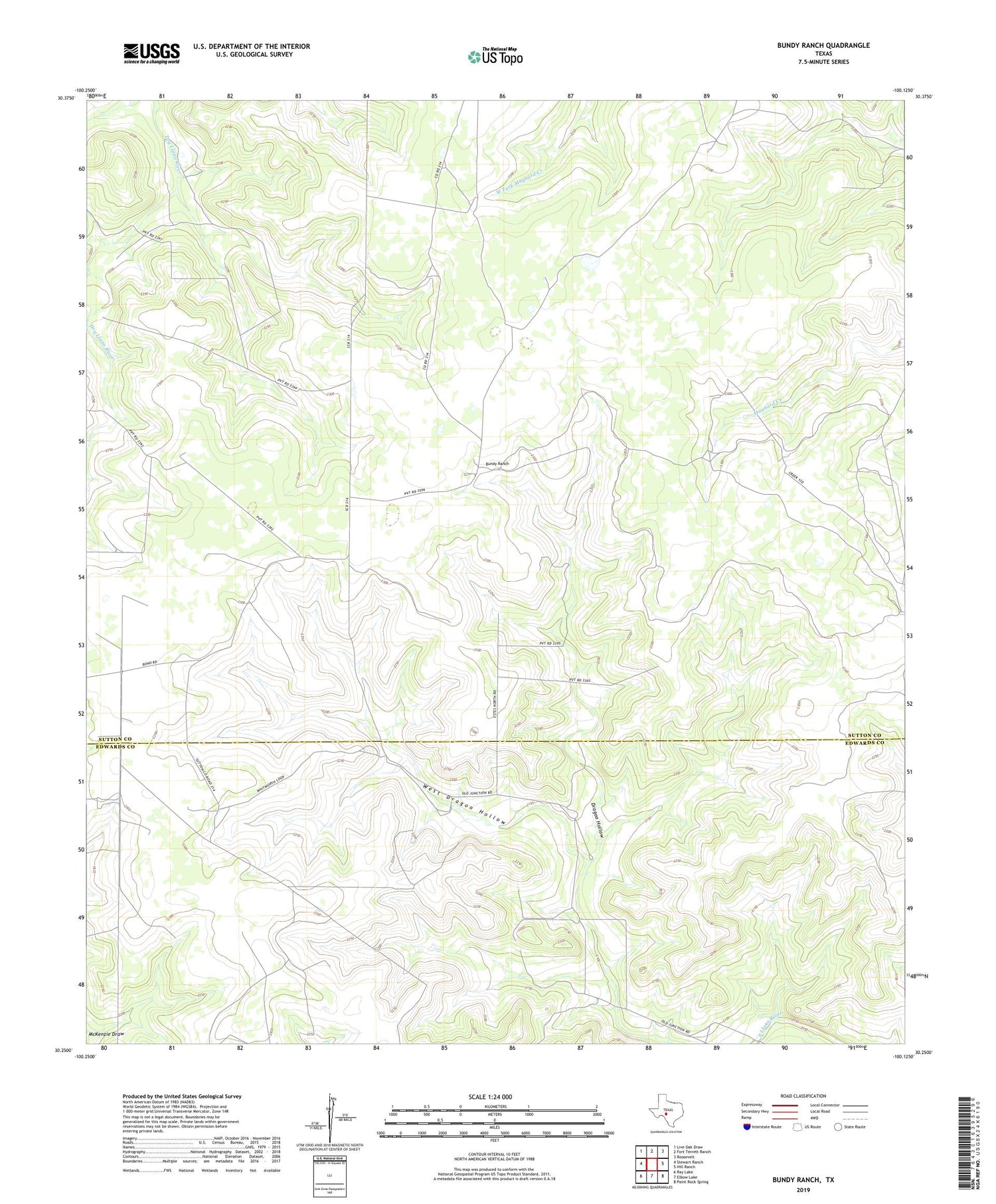
2019 topographic map quadrangle Bundy Ranch in the state of Texas. Scale: 1:24000. Based on the newly updated USGS 7.5' US Topo map series, this map is in the following counties: Sutton, Edwards. The map contains contour data, water features, and other items you are used to seeing on USGS maps, but also has updated roads and other features. This is the next generation of topographic maps. Printed on high-quality waterproof paper with UV fade-resistant inks.
Quads adjacent to this one:
West: Stewart Ranch
Northwest: Live Oak Draw
North: Fort Terrett Ranch
Northeast: Roosevelt
East: Hill Ranch
Southeast: Paint Rock Spring
South: Elbow Lake
Southwest: Ray Lake
Contains the following named places: Bundy Ranch, Cowsert Ranch, Eagle Well, Mayfield Ranch, Phillips Ranch, Sawyer Ranch, Tobin Ranch, West Dragoo Hollow