MyTopo
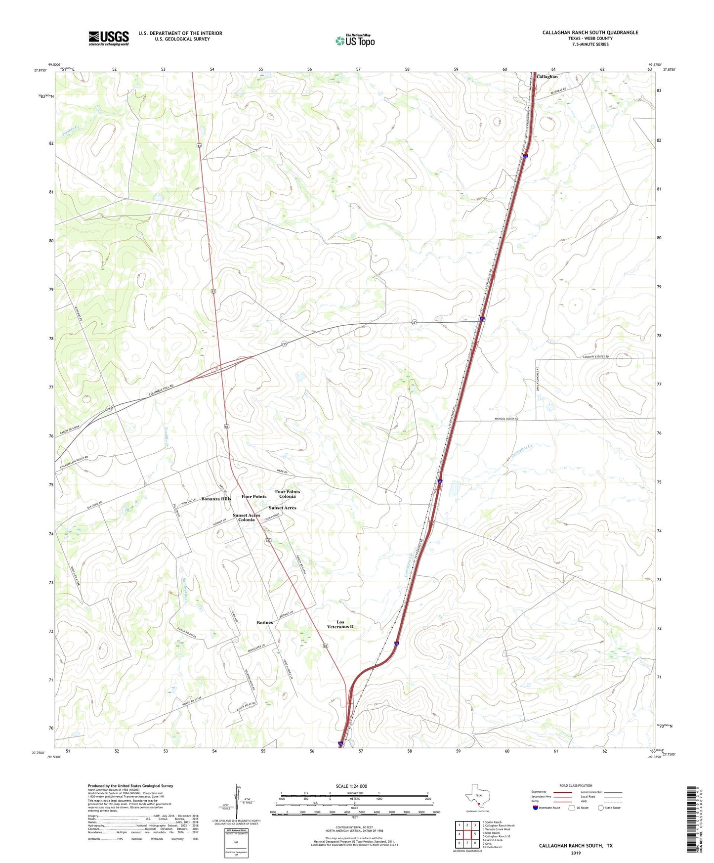
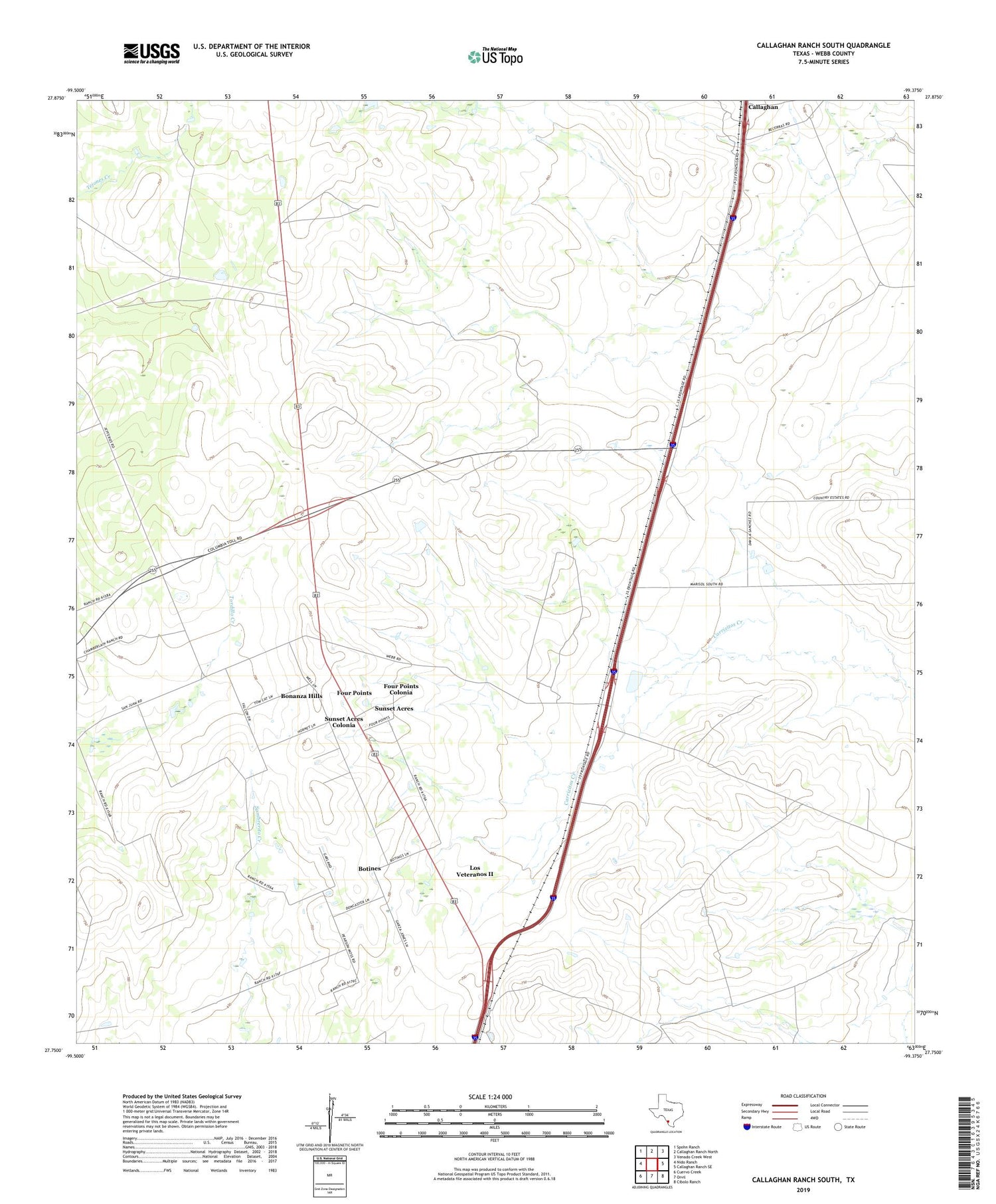
Callaghan Ranch South Texas US Topo Map
Couldn't load pickup availability
2019 topographic map quadrangle Callaghan Ranch South in the state of Texas. Scale: 1:24000. Based on the newly updated USGS 7.5' US Topo map series, this map is in the following counties: Webb. The map contains contour data, water features, and other items you are used to seeing on USGS maps, but also has updated roads and other features. This is the next generation of topographic maps. Printed on high-quality waterproof paper with UV fade-resistant inks.
Quads adjacent to this one:
West: Nido Ranch
Northwest: Spohn Ranch
North: Callaghan Ranch North
Northeast: Venado Creek West
East: Callaghan Ranch SE
Southeast: Cibolo Ranch
South: Orvil
Southwest: Cuervo Creek
Contains the following named places: Bonanza Hills Census Designated Place, Botines, Botines Census Designated Place, Callaghan Ranch, Four Points Census Designated Place, Four Points Colonia, Los Veteranos 83 Colonia, Los Veteranos II Census Designated Place, Sunset Acres Census Designated Place, Sunset Acres Colonia, Webb