MyTopo
Candilla Canyon West Texas US Topo Map
Couldn't load pickup availability
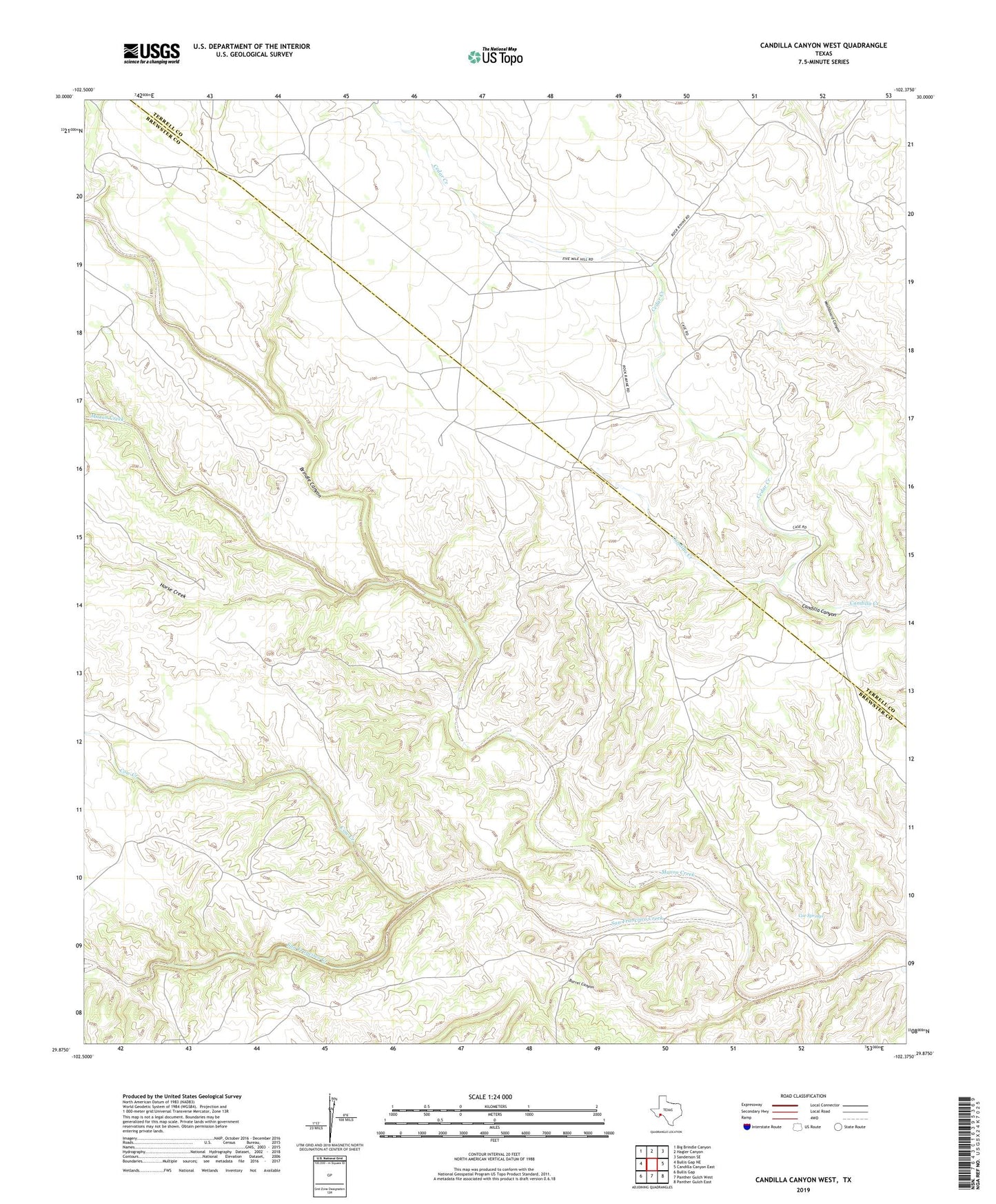
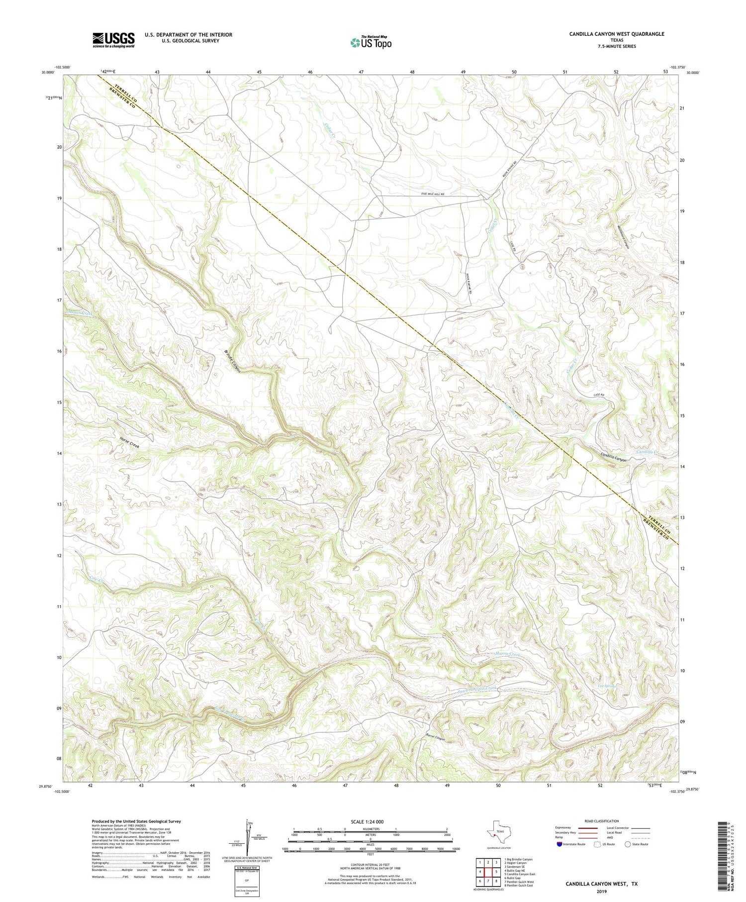
2019 topographic map quadrangle Candilla Canyon West in the state of Texas. Scale: 1:24000. Based on the newly updated USGS 7.5' US Topo map series, this map is in the following counties: Brewster, Terrell. The map contains contour data, water features, and other items you are used to seeing on USGS maps, but also has updated roads and other features. This is the next generation of topographic maps. Printed on high-quality waterproof paper with UV fade-resistant inks.
Quads adjacent to this one:
West: Bullis Gap NE
Northwest: Big Brindle Canyon
North: Hagler Canyon
Northeast: Sanderson SE
East: Candilla Canyon East
Southeast: Panther Gulch East
South: Panther Gulch West
Southwest: Bullis Gap
Contains the following named places: Barrel Canyon, Brindle Canyon, Cedar Creek, Coe Springs, Cow Creek, Elders Ranch, Garcia Ranch, Horse Creek, Indian Wells, Maxon Creek, San Francisco, Stewart Ranch