
MyTopo
Clark Brothers Ranch Texas US Topo Map
Couldn't load pickup availability
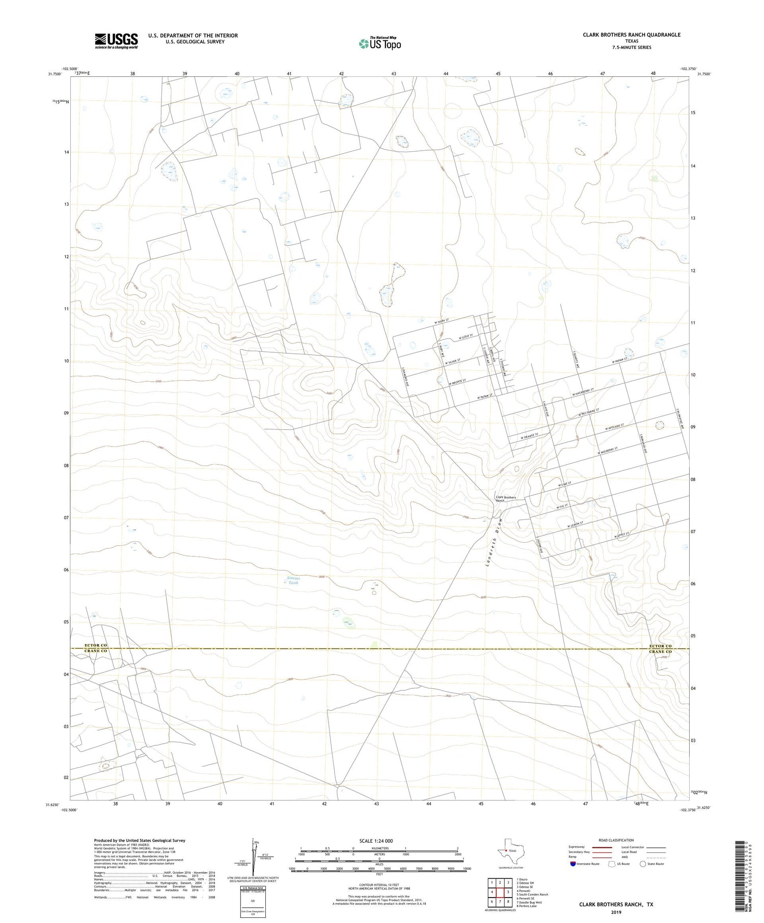
2019 topographic map quadrangle Clark Brothers Ranch in the state of Texas. Scale: 1:24000. Based on the newly updated USGS 7.5' US Topo map series, this map is in the following counties: Ector, Crane. The map contains contour data, water features, and other items you are used to seeing on USGS maps, but also has updated roads and other features. This is the next generation of topographic maps. Printed on high-quality waterproof paper with UV fade-resistant inks.
Quads adjacent to this one:
West: Penwell
Northwest: Douro
North: Odessa SW
Northeast: Odessa SE
East: South Cowden Ranch
Southeast: Perkins Lake
South: Doodle Bug Well
Southwest: Penwell SE
Contains the following named places: Big Tank, Breaks Well, Clark Brothers Ranch, Davis Windmills, Division Well, Double H Oil Field, Edwards Oil Field, Henderson Windmill, Home Pasture Windmill, Prairie Dog Windmill, Rodman Ranch, Simms Tank, Simms Windmill, South Cowden Oil Field, Sweetwater Windmill, West Windmill, ZIP Code: 79766


