MyTopo
Dermott Texas US Topo Map
Regular price
$16.95
Regular price
Sale price
$16.95
Unit price
per
Couldn't load pickup availability
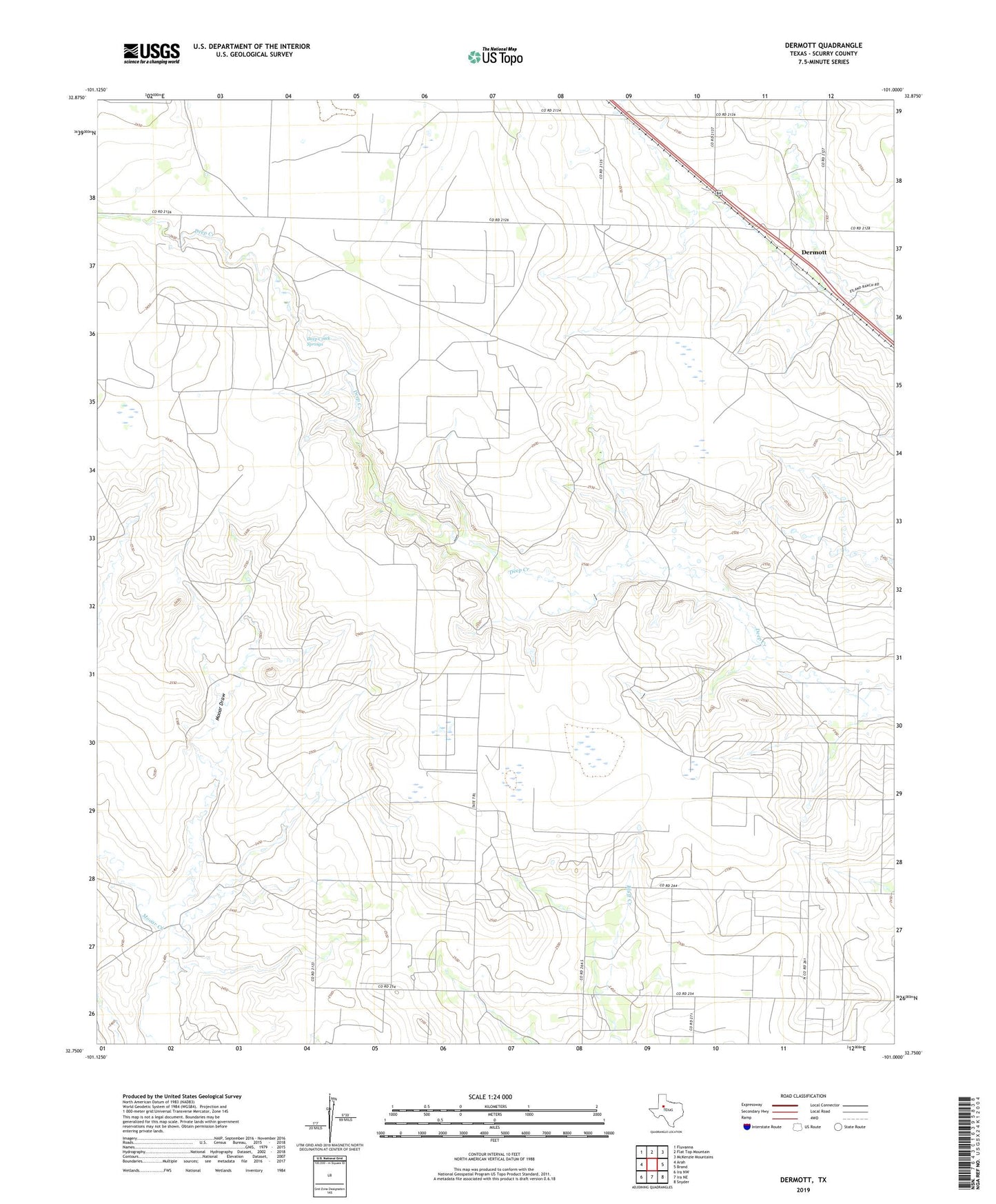
2019 topographic map quadrangle Dermott in the state of Texas. Scale: 1:24000. Based on the newly updated USGS 7.5' US Topo map series, this map is in the following counties: Scurry. The map contains contour data, water features, and other items you are used to seeing on USGS maps, but also has updated roads and other features. This is the next generation of topographic maps. Printed on high-quality waterproof paper with UV fade-resistant inks.
Quads adjacent to this one:
West: Arah
Northwest: Fluvanna
North: Flat Top Mountain
Northeast: McKenzie Mountains
East: Brand
Southeast: Snyder
South: Ira NE
Southwest: Ira NW
Contains the following named places: Deep Creek Springs, Dermott, Mooar Draw