MyTopo
Derrick Draw Texas US Topo Map
Couldn't load pickup availability
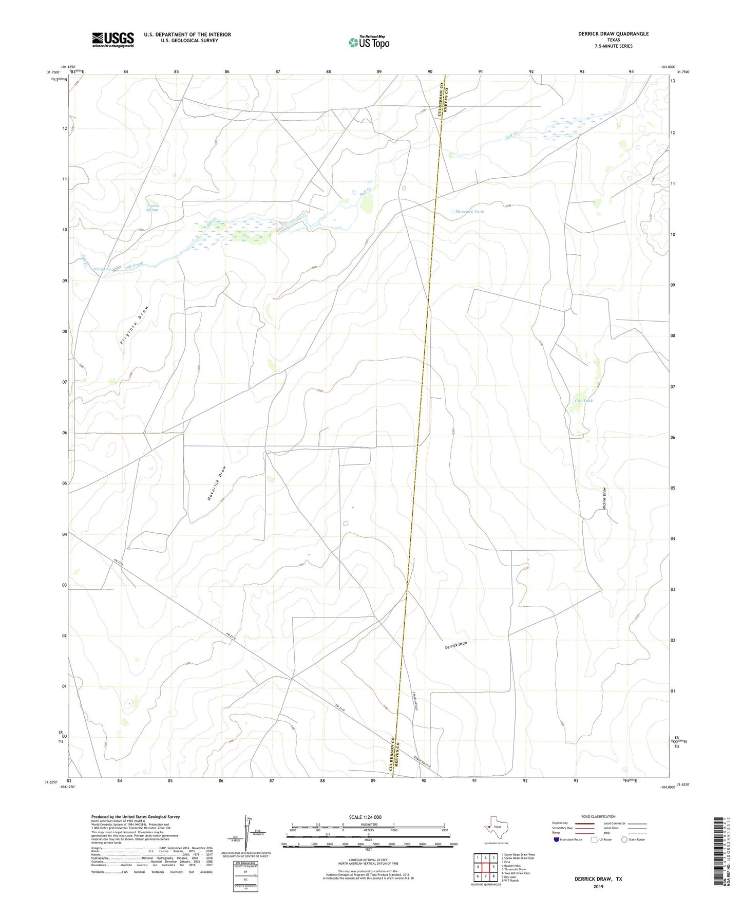
2019 topographic map quadrangle Derrick Draw in the state of Texas. Scale: 1:24000. Based on the newly updated USGS 7.5' US Topo map series, this map is in the following counties: Culberson, Reeves. The map contains contour data, water features, and other items you are used to seeing on USGS maps, but also has updated roads and other features. This is the next generation of topographic maps. Printed on high-quality waterproof paper with UV fade-resistant inks.
Quads adjacent to this one:
West: Rustler Hills
Northwest: Screw Bean Draw West
North: Screw Bean Draw East
Northeast: Orla
East: Threemile Draw
Southeast: W T Ranch
South: Dry Lake
Southwest: Two Mill Draw East
Contains the following named places: Cooksey Well, Cox Tank, Derrick Draw, Incline Draw, Incline Windmill, Kyle Quarry, Maverick Draw, Maverick Tank, Roberson Windmill, Salt Spring, Virginia Draw, Virginia Springs