MyTopo
Threemile Draw Texas US Topo Map
Couldn't load pickup availability
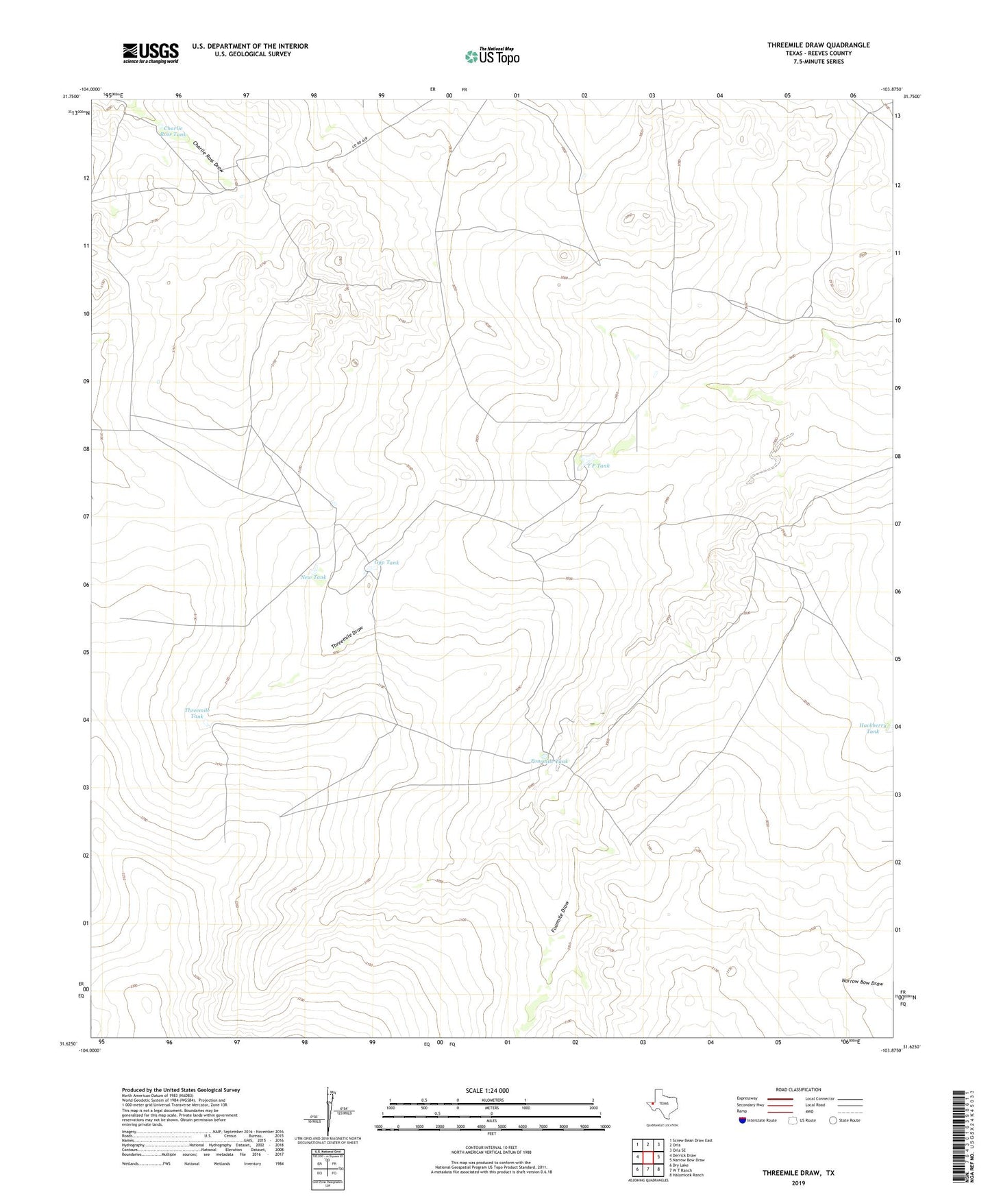
2022 topographic map quadrangle Threemile Draw in the state of Texas. Scale: 1:24000. Based on the newly updated USGS 7.5' US Topo map series, this map is in the following counties: Reeves. The map contains contour data, water features, and other items you are used to seeing on USGS maps, but also has updated roads and other features. This is the next generation of topographic maps. Printed on high-quality waterproof paper with UV fade-resistant inks.
Quads adjacent to this one:
West: Derrick Draw
Northwest: Screw Bean Draw East
North: Orla
Northeast: Orla SE
East: Narrow Bow Draw
Southeast: Halamicek Ranch
South: W T Ranch
Southwest: Dry Lake
This map covers the same area as the classic USGS quad with code o31103f8.
Contains the following named places: Charlie Ross Tank, Fourmile Tank, Gyp Tank, Hackberry Tank, Hackberry Windmill, New Tank, Orla Windmill, T P Tank, T P Windmill, Threemile Draw, Threemile Tank, Twomile Windmill