MyTopo
Dog Creek NE Texas US Topo Map
Couldn't load pickup availability
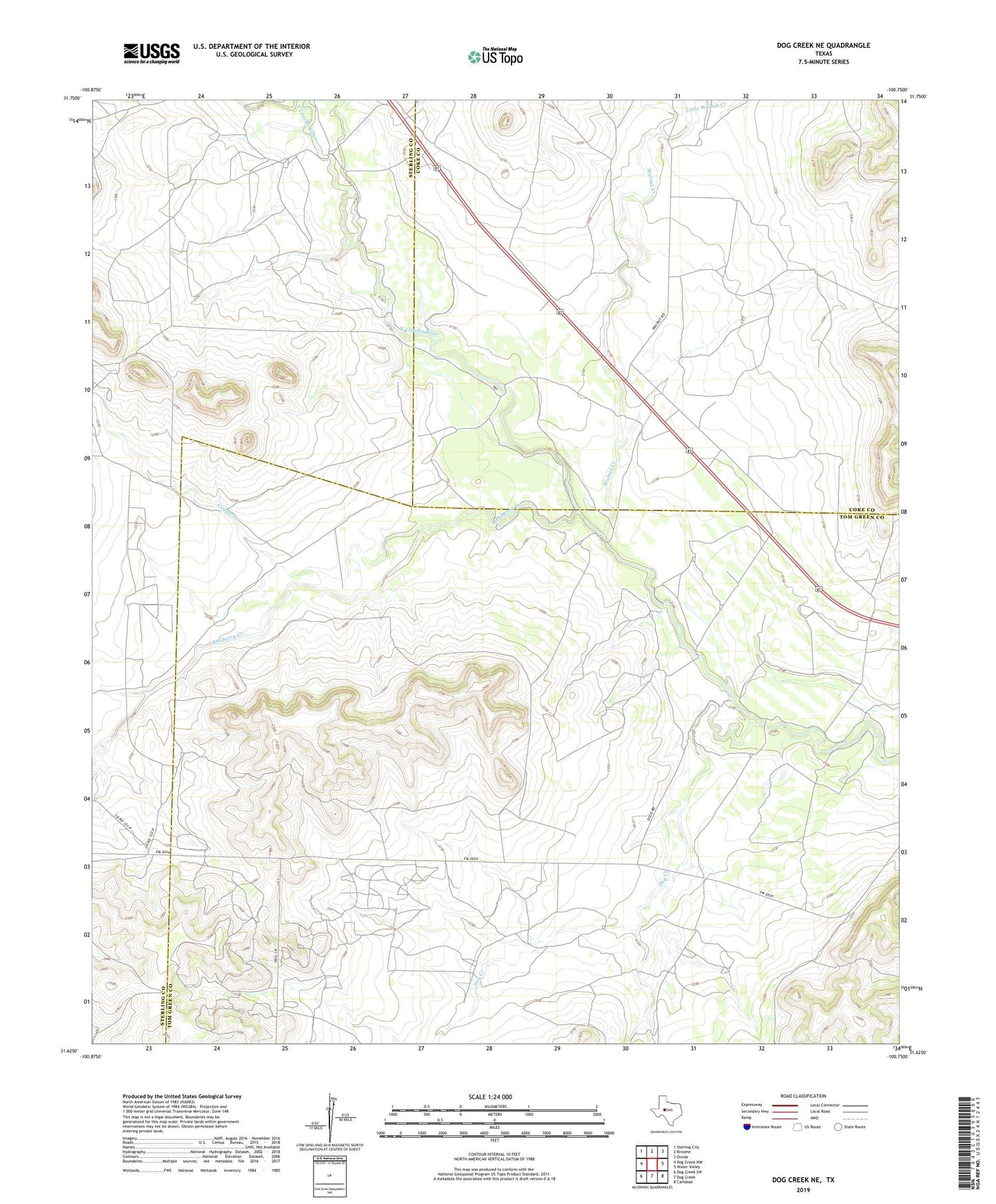
2019 topographic map quadrangle Dog Creek NE in the state of Texas. Scale: 1:24000. Based on the newly updated USGS 7.5' US Topo map series, this map is in the following counties: Tom Green, Coke, Sterling. The map contains contour data, water features, and other items you are used to seeing on USGS maps, but also has updated roads and other features. This is the next generation of topographic maps. Printed on high-quality waterproof paper with UV fade-resistant inks.
Quads adjacent to this one:
West: Dog Creek NW
Northwest: Sterling City
North: Broome
Northeast: Divide
East: Water Valley
Southeast: Carlsbad
South: Dog Creek
Southwest: Dog Creek SW
Contains the following named places: Clark Oil Field, Coyote Creek, Dry Creek, Hall Oil Field, Little Walnut Creek, Mulberry Creek, Walnut Creek, Water Valley Oil Field