MyTopo
Eagle Mountains SE Texas US Topo Map
Couldn't load pickup availability
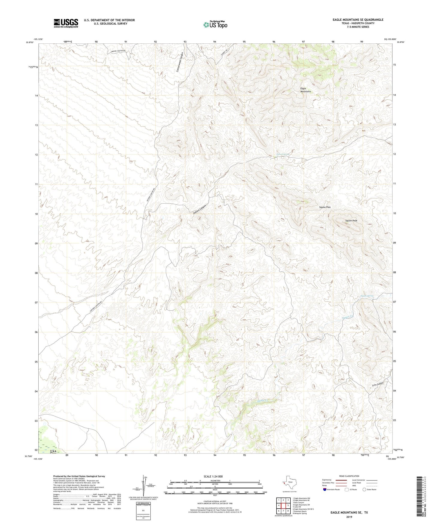
2019 topographic map quadrangle Eagle Mountains SE in the state of Texas. Scale: 1:24000. Based on the newly updated USGS 7.5' US Topo map series, this map is in the following counties: Hudspeth. The map contains contour data, water features, and other items you are used to seeing on USGS maps, but also has updated roads and other features. This is the next generation of topographic maps. Printed on high-quality waterproof paper with UV fade-resistant inks.
Quads adjacent to this one:
West: Eagle Mountains SW
Northwest: Eagle Mountains NW
North: Eagle Mountains NE
Northeast: Bass Canyon
East: Lobo SW
Southeast: Mesquite Spring
South: Bramlett Ranch
Southwest: Eagle Mountains SW OE S
Contains the following named places: Black Diamond Mine, Cottonwood Canyon, Echo Canyon, Indio Ranch, Oxford Canyon, Oxford Spring, Squaw Pass, Squaw Peak, Squaw Spring