MyTopo
Bramlett Ranch Texas US Topo Map
Couldn't load pickup availability
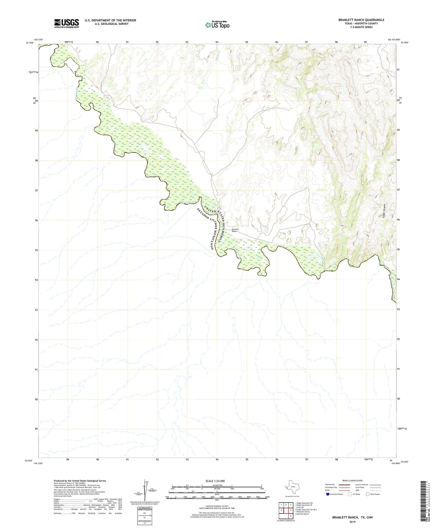
2023 topographic map quadrangle Bramlett Ranch in the state of Texas. Scale: 1:24000. Based on the newly updated USGS 7.5' US Topo map series, this map is in the following counties: Hudspeth. The map contains contour data, water features, and other items you are used to seeing on USGS maps, but also has updated roads and other features. This is the next generation of topographic maps. Printed on high-quality waterproof paper with UV fade-resistant inks.
Quads adjacent to this one:
West: Eagle Mountains SW OE S
Northwest: Eagle Mountains SW
North: Eagle Mountains SE
Northeast: Lobo SW
East: Mesquite Spring
Southeast: Bennett Ranch
This map covers the same area as the classic USGS quad with code o30105f1.
Contains the following named places: Bramlett Ranch, Eagle Canyon, Purple Sage Mine, Squaw Creek