MyTopo
El Indio Texas US Topo Map
Couldn't load pickup availability
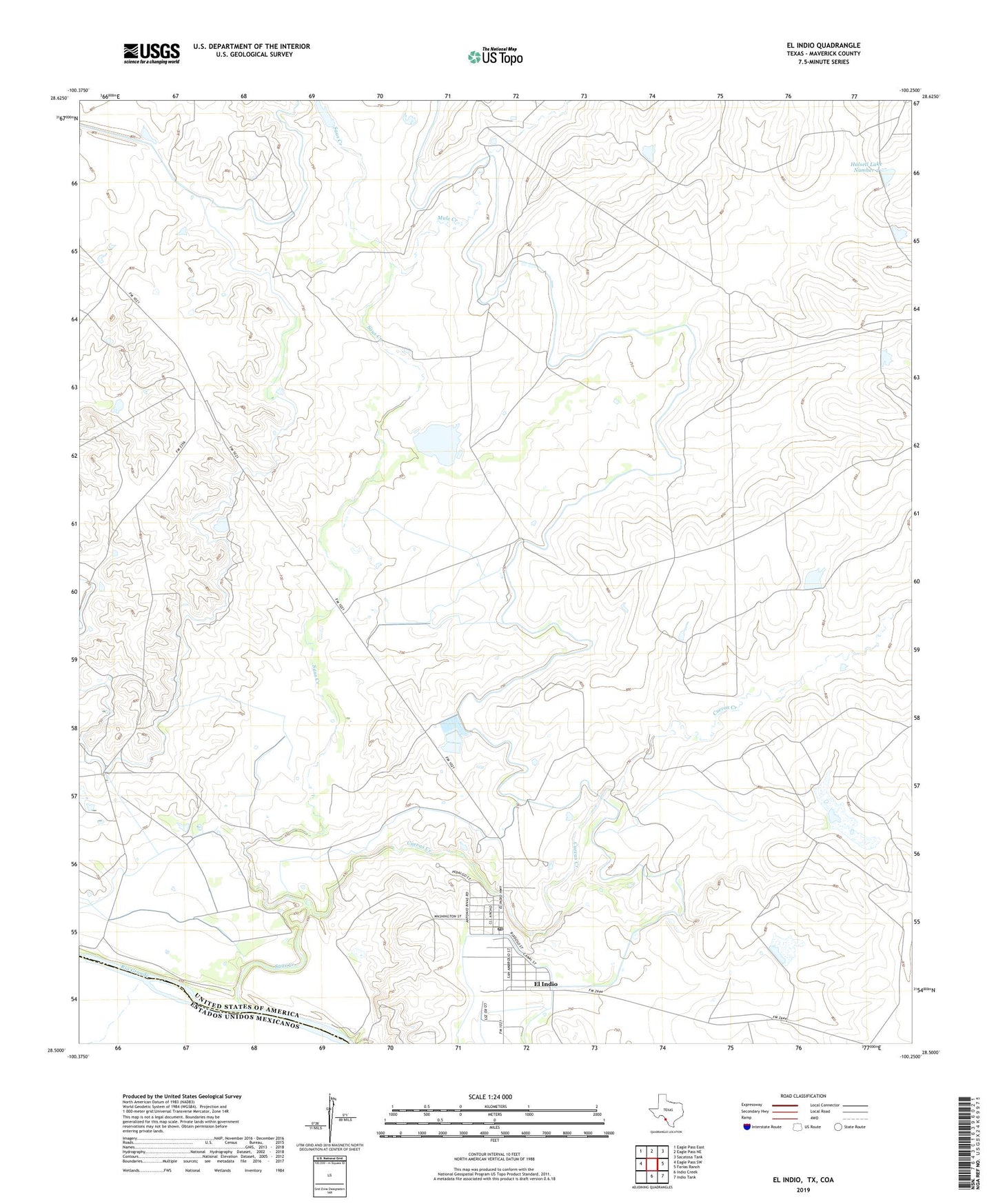
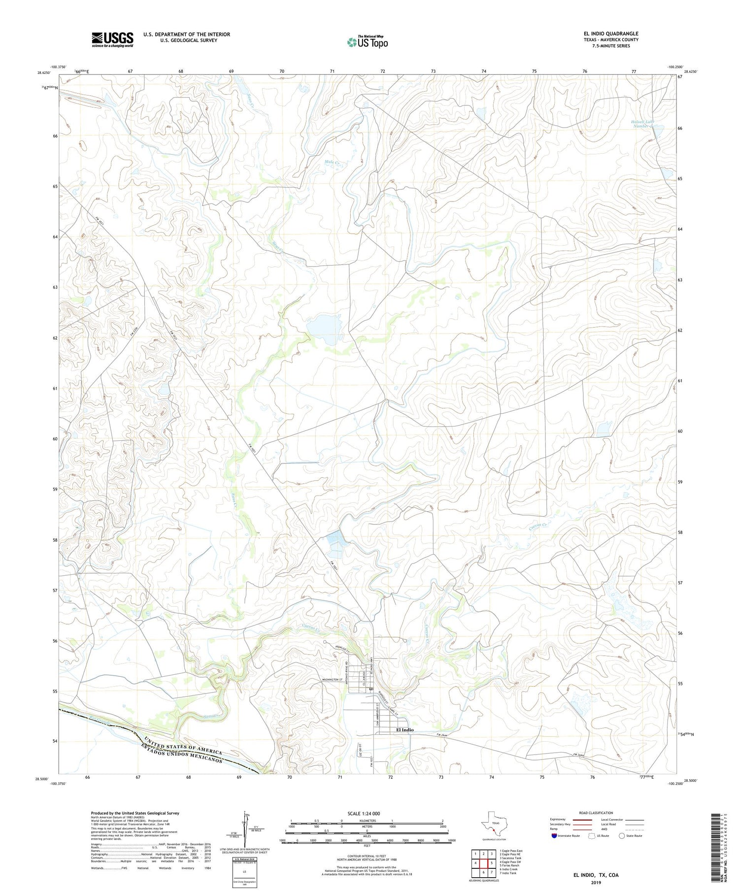
2019 topographic map quadrangle El Indio in the state of Texas. Scale: 1:24000. Based on the newly updated USGS 7.5' US Topo map series, this map is in the following counties: Maverick. The map contains contour data, water features, and other items you are used to seeing on USGS maps, but also has updated roads and other features. This is the next generation of topographic maps. Printed on high-quality waterproof paper with UV fade-resistant inks.
Quads adjacent to this one:
West: Eagle Pass SW
Northwest: Eagle Pass East
North: Eagle Pass NE
Northeast: Sacatosa Tank
East: Farias Ranch
Southeast: Indio Tank
South: Indio Creek
Contains the following named places: Beaver Tank, Cuevas Creek, El Indio, El Indio Census Designated Place, El Indio Post Office, Halsell Lake Number 2, Halsell Lake Number 2 Dam, Milton Frank Farms, Mule Creek, Saus Creek, Sullivan Ranch, Winship Lake Number 2 Dam