MyTopo
Sacatosa Tank Texas US Topo Map
Couldn't load pickup availability
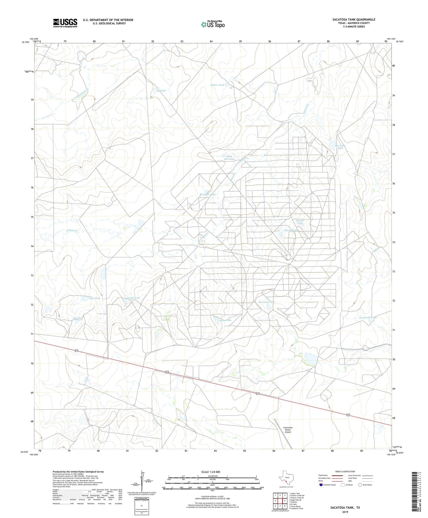
2022 topographic map quadrangle Sacatosa Tank in the state of Texas. Scale: 1:24000. Based on the newly updated USGS 7.5' US Topo map series, this map is in the following counties: Maverick. The map contains contour data, water features, and other items you are used to seeing on USGS maps, but also has updated roads and other features. This is the next generation of topographic maps. Printed on high-quality waterproof paper with UV fade-resistant inks.
Quads adjacent to this one:
West: Eagle Pass NE
Northwest: Indian Tank
North: Chacon Creek SW
Northeast: Chacon Creek SE
East: Cometa
Southeast: Cayetano Creek
South: Farias Ranch
Southwest: El Indio
This map covers the same area as the classic USGS quad with code o28100f2.
Contains the following named places: Antonio Tank, Black Hill Tank, Chanto Tank, Comanche Tank, Jay Tank, Jug Tank, Little Jug Tank, Lucas Tank, Mesquite Tank, Sacatosa Oil Field, Sacatosa Tank, San Pablo Tank, Taza Tank, Truitt Tank, Willow Tank