MyTopo
Figure Seven Ranch Texas US Topo Map
Couldn't load pickup availability
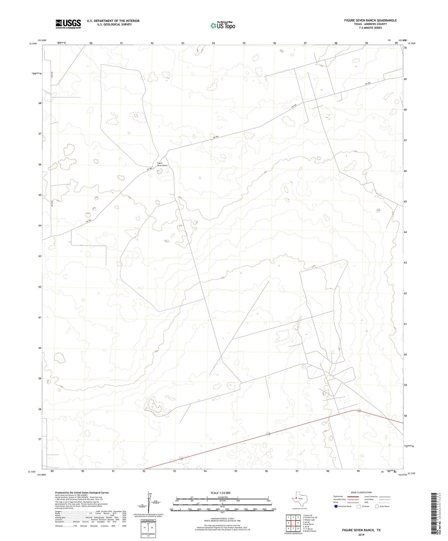
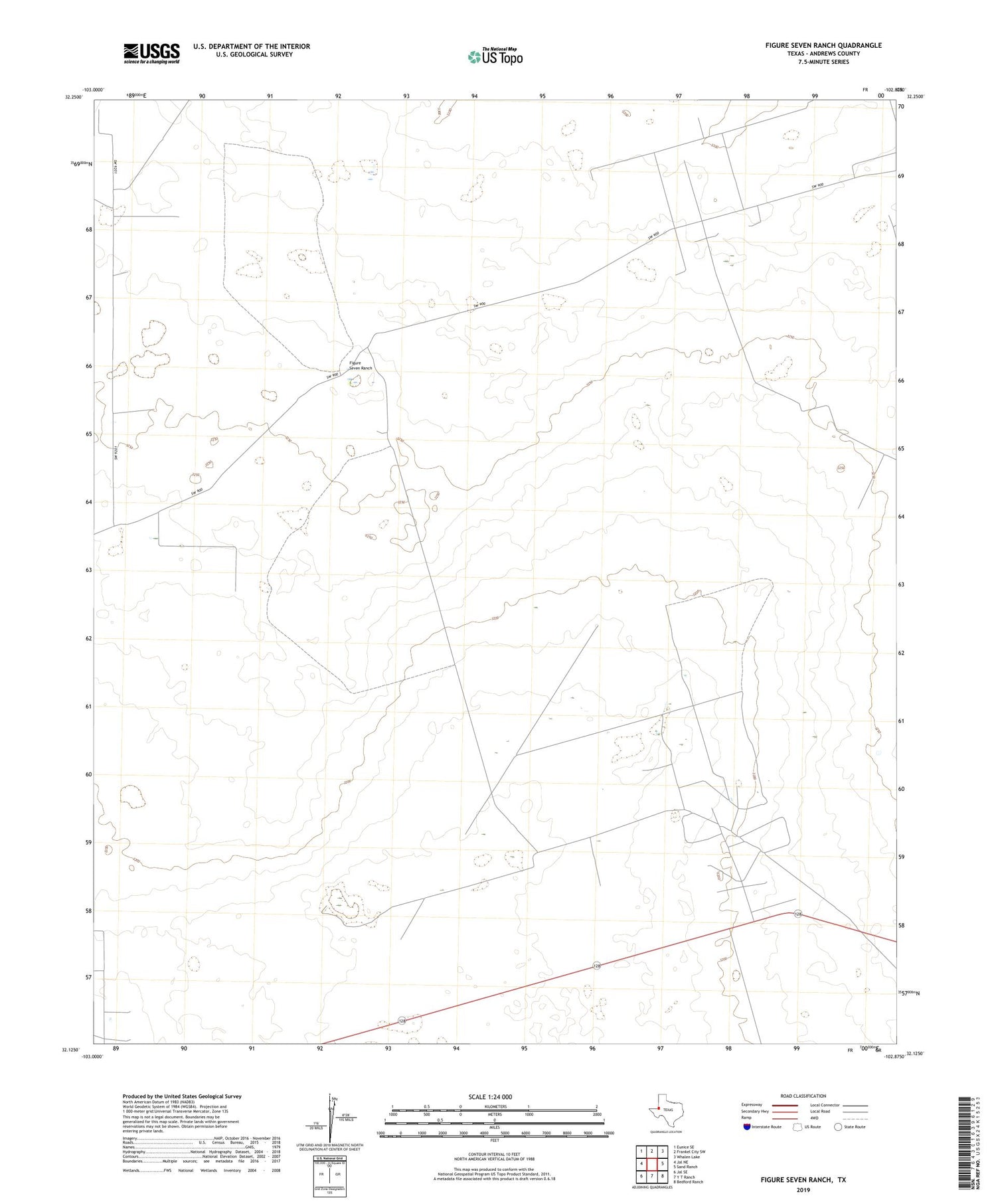
2019 topographic map quadrangle Figure Seven Ranch in the state of Texas. Scale: 1:24000. Based on the newly updated USGS 7.5' US Topo map series, this map is in the following counties: Andrews. The map contains contour data, water features, and other items you are used to seeing on USGS maps, but also has updated roads and other features. This is the next generation of topographic maps. Printed on high-quality waterproof paper with UV fade-resistant inks.
Quads adjacent to this one:
West: Jal NE
Northwest: Eunice SE
North: Frankel City SW
Northeast: Whalen Lake
East: Sand Ranch
Southeast: Bedford Ranch
South: Y T Ranch
Southwest: Jal SE
Contains the following named places: Bedford Oil Field, Block 12 Oil Field, Deadman Windmill, Figure Seven Ranch, Maynew Windmill, South Windmill, Trap Windmill