MyTopo
Guthrie NW Texas US Topo Map
Couldn't load pickup availability
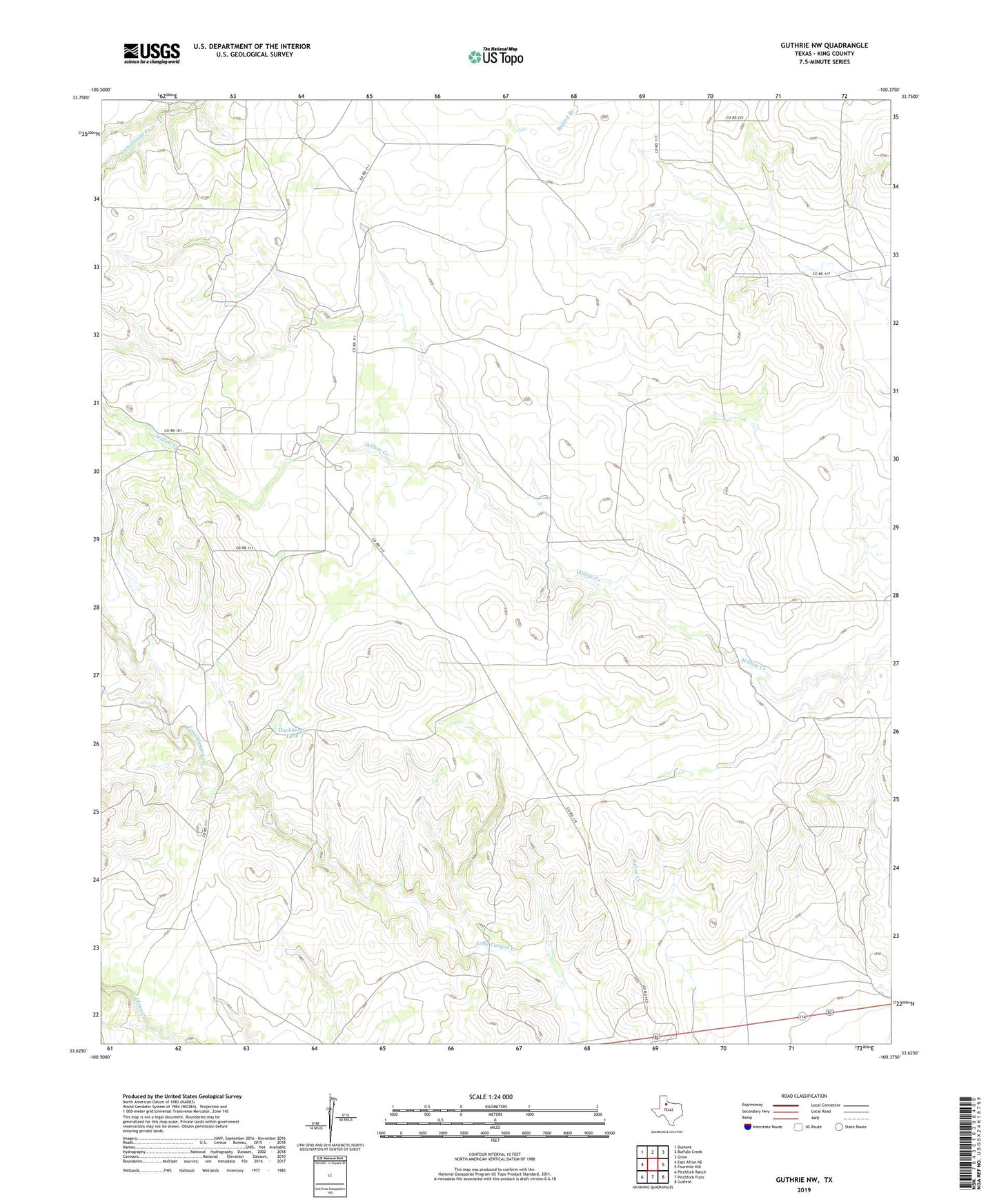
2019 topographic map quadrangle Guthrie NW in the state of Texas. Scale: 1:24000. Based on the newly updated USGS 7.5' US Topo map series, this map is in the following counties: King. The map contains contour data, water features, and other items you are used to seeing on USGS maps, but also has updated roads and other features. This is the next generation of topographic maps. Printed on high-quality waterproof paper with UV fade-resistant inks.
Quads adjacent to this one:
West: East Afton NE
Northwest: Dumont
North: Buffalo Creek
Northeast: Grow
East: Fourmile Hill
Southeast: Guthrie
South: Pitchfork Flats
Southwest: Pitchfork Ranch
Contains the following named places: Boxcar Windmill, Double Long Canyon Windmill, East Camp Windmill, East Deaton Windmill, East Purebred Windmill, East Willow Windmill, East Windmill, Flippen Windmill, Gage Corner Windmill, Gardner Windmill, Gibson Windmill, Graves Windmill, Hackberry Tank, Hog Trap Windmill, Horse Pasture Windmill, Humble Windmill, Lazarus Windmill, North Camp Field Windmill, North Camp Trap Windmill, Ogallala Windmill, Petty Windmill, Six Thousand Six Hundred and Sixtysix Ranch, Tidewater Windmill, West Deaton Windmill, West Purebred Windmill, Wildcat Windmill, Willow Windmill, ZIP Code: 79236