MyTopo
Hallsville Texas US Topo Map
Couldn't load pickup availability
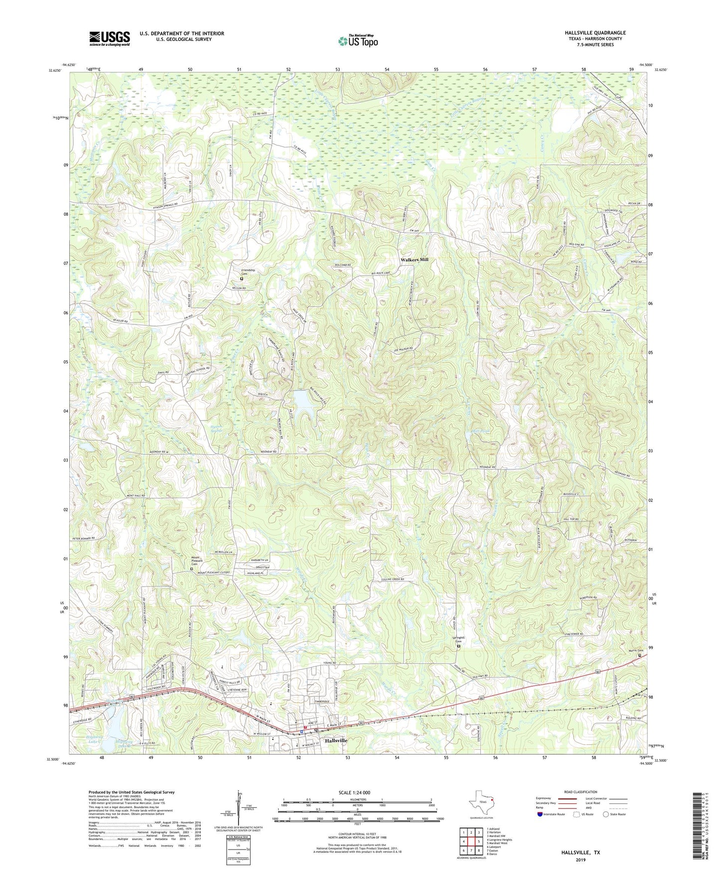
2019 topographic map quadrangle Hallsville in the state of Texas. Scale: 1:24000. Based on the newly updated USGS 7.5' US Topo map series, this map is in the following counties: Harrison. The map contains contour data, water features, and other items you are used to seeing on USGS maps, but also has updated roads and other features. This is the next generation of topographic maps. Printed on high-quality waterproof paper with UV fade-resistant inks.
Quads adjacent to this one:
West: Longview Heights
Northwest: Ashland
North: Harleton
Northeast: Marshall NW
East: Marshall West
Southeast: Darco
South: Easton
Southwest: Lakeport
Contains the following named places: Athens Church, Barnes Dam, Big Rock Dam, Big Rock Lake, Bucksville Church, Caney Creek, Carterville, City of Hallsville, Evergreen Church, Frances Lake, Friendship, Friendship Cemetery, Gum Creek, Hallsville, Hallsville City Hall, Hallsville Fire Department, Hallsville Police Department, Hallsville Post Office, Harrison County Constable's Office Precinct 3, Highway Lake, Highway Lake A, Highway Lake B, Highway Lake C, Highway Lake Dam A, Highway Lake Dam B, Highway Lake Dam C, Holiness Church, Hynson Springs, Keokuk, Lick Creek, Mill Pond, Mission Point Church, Morris Cemetery, Mount Pleasant Cemetery, Mount Pleasant Church, Mulberry Springs, Noonday, Page Creek, Rock Lake, Springhill Cemetery, Walkers Mill, ZIP Code: 75650