MyTopo
Higgins South Texas US Topo Map
Couldn't load pickup availability
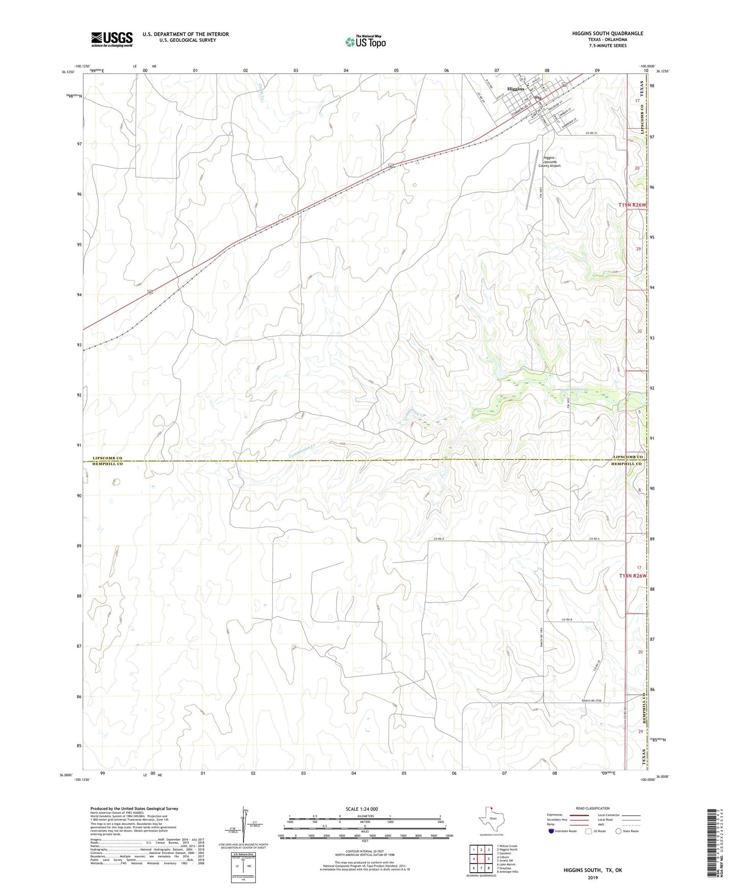
2019 topographic map quadrangle Higgins South in the state of Texas. Scale: 1:24000. Based on the newly updated USGS 7.5' US Topo map series, this map is in the following counties: Lipscomb, Hemphill, Ellis. The map contains contour data, water features, and other items you are used to seeing on USGS maps, but also has updated roads and other features. This is the next generation of topographic maps. Printed on high-quality waterproof paper with UV fade-resistant inks.
Quads adjacent to this one:
West: Coburn
Northwest: Willow Creek
North: Higgins North
Northeast: Goodwin
East: Arnett SW
Southeast: Antelope Hills
South: Dreyfoos
Southwest: Lake Marvin
Contains the following named places: City of Higgins, Commission Creek, Feldman Oil and Gas Field, Higgins, Higgins - Lipscomb Volunteer Fire Department Station 1, Higgins City Hall, Higgins Post Office, Higgins School, Higgins-Lipscomb County Airport