MyTopo
Hovey NE Texas US Topo Map
Couldn't load pickup availability
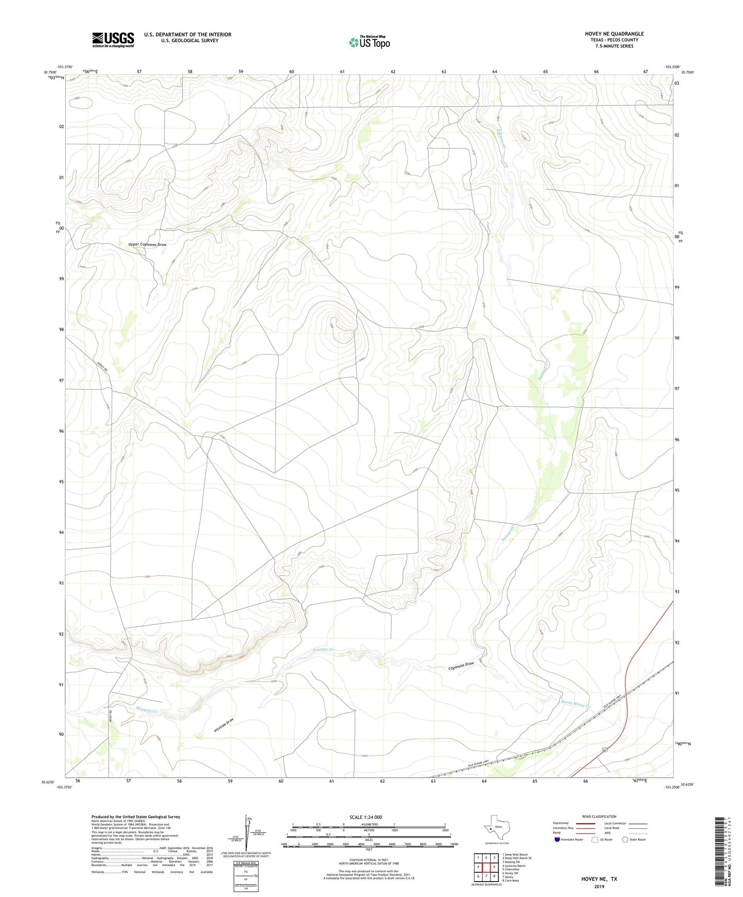
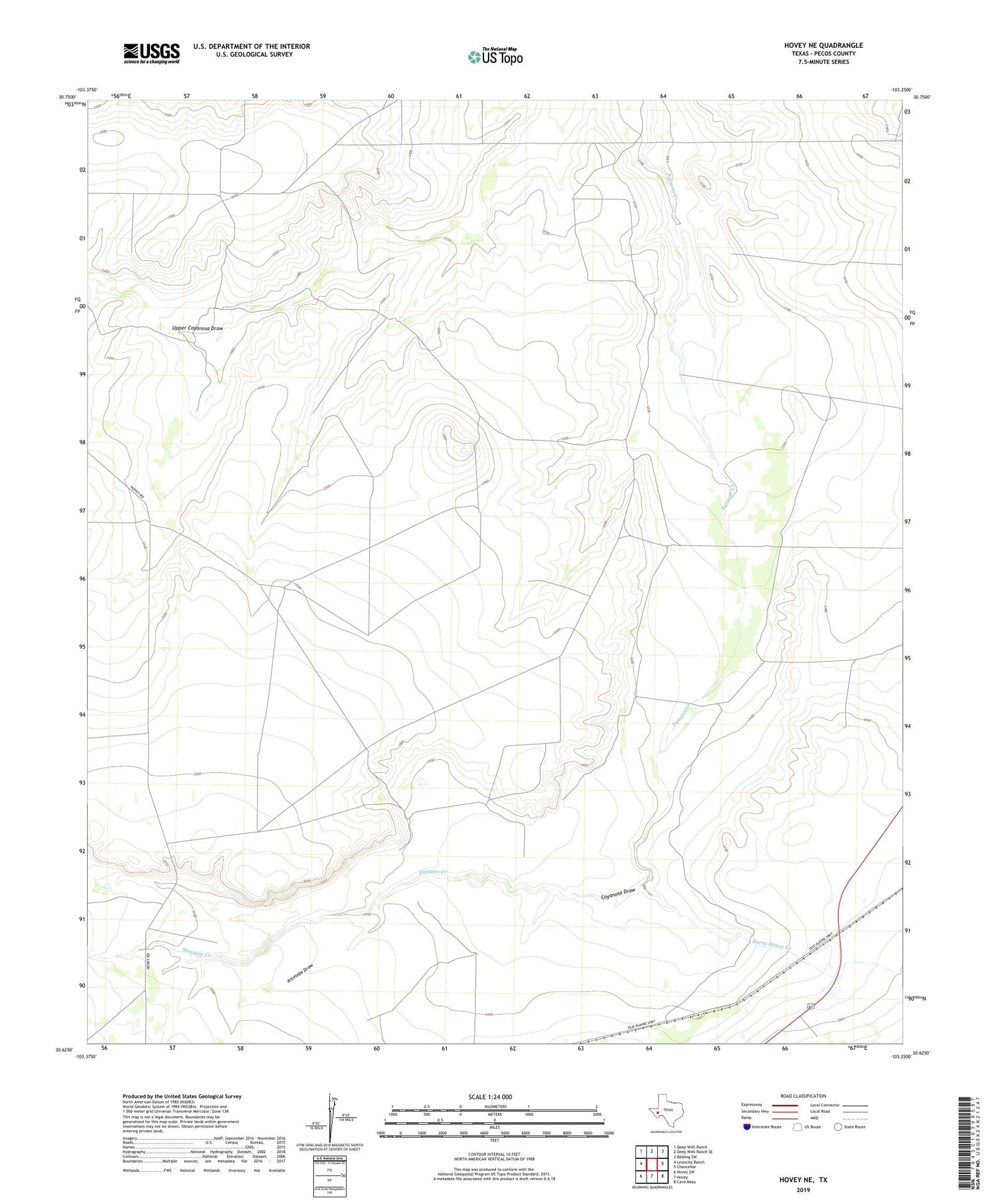
2019 topographic map quadrangle Hovey NE in the state of Texas. Scale: 1:24000. Based on the newly updated USGS 7.5' US Topo map series, this map is in the following counties: Pecos. The map contains contour data, water features, and other items you are used to seeing on USGS maps, but also has updated roads and other features. This is the next generation of topographic maps. Printed on high-quality waterproof paper with UV fade-resistant inks.
Quads adjacent to this one:
West: Leoncita Ranch
Northwest: Deep Well Ranch
North: Deep Well Ranch SE
Northeast: Belding SW
East: Chancellor
Southeast: Cave Mesa
South: Hovey
Southwest: Hovey SW
Contains the following named places: Antelope Draw, Big Draw Windmill, Burnt House Creek, Hackney Windmill, Headquarters Windmill, Musquiz Creek, North Windmill, Webb Windmill