MyTopo
Hovey SW Texas US Topo Map
Couldn't load pickup availability
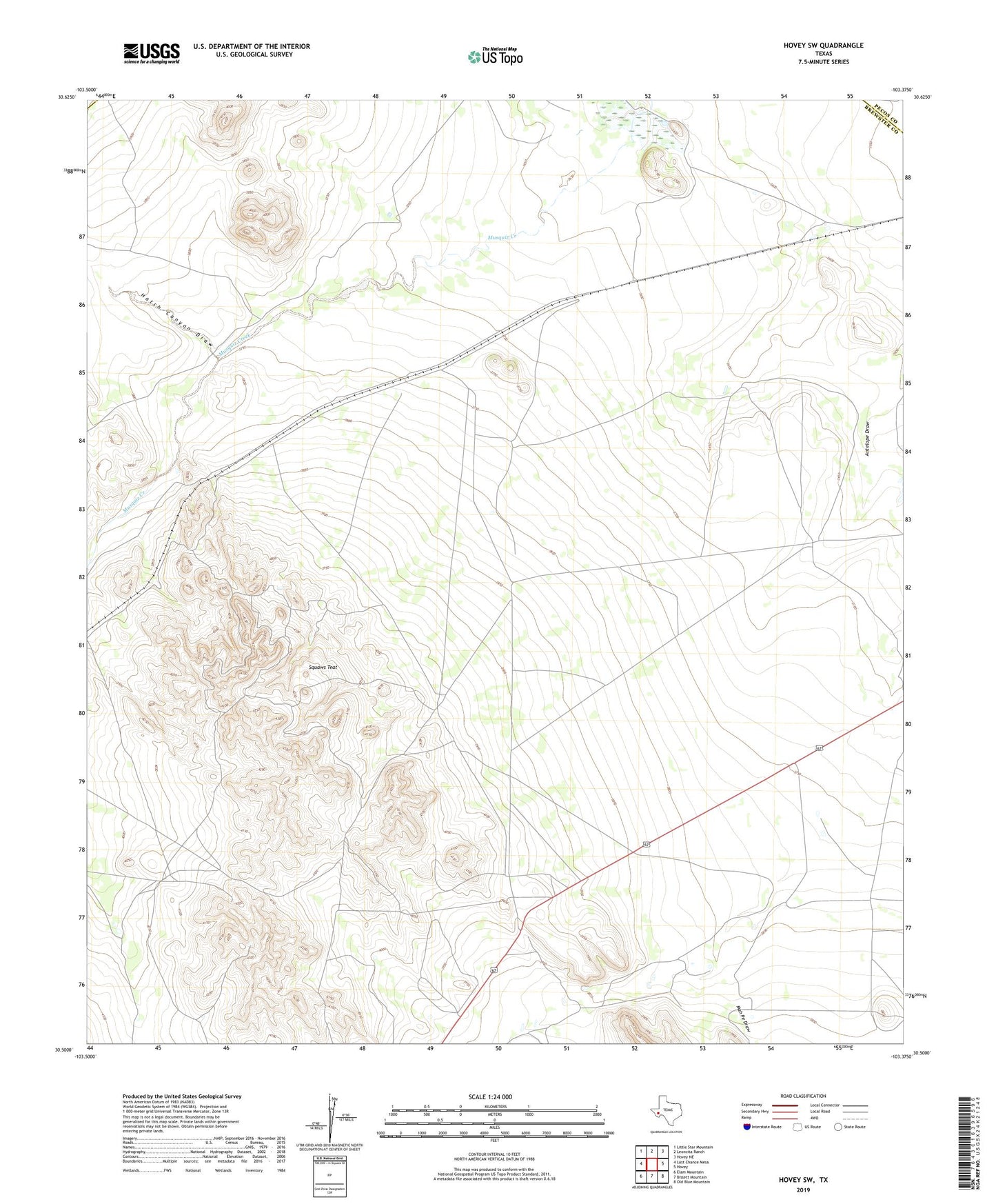
2023 topographic map quadrangle Hovey SW in the state of Texas. Scale: 1:24000. Based on the newly updated USGS 7.5' US Topo map series, this map is in the following counties: Brewster, Pecos, Jeff Davis. The map contains contour data, water features, and other items you are used to seeing on USGS maps, but also has updated roads and other features. This is the next generation of topographic maps. Printed on high-quality waterproof paper with UV fade-resistant inks.
Quads adjacent to this one:
West: Last Chance Mesa
Northwest: Little Star Mountain
North: Leoncita Ranch
Northeast: Hovey NE
East: Hovey
Southeast: Old Blue Mountain
South: Bissett Mountain
Southwest: Elam Mountain
This map covers the same area as the classic USGS quad with code o30103e4.
Contains the following named places: Hatch Canyon Draw, Humble Well, Mah Pe Draw, Squaws Teat