
MyTopo
Imperial NW Texas US Topo Map
Couldn't load pickup availability
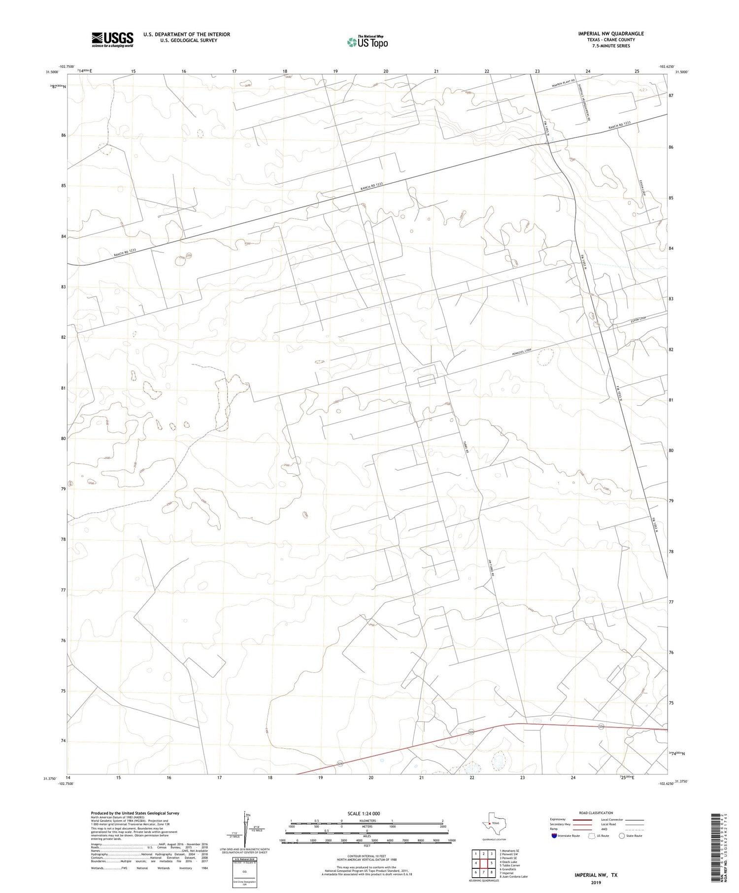
2019 topographic map quadrangle Imperial NW in the state of Texas. Scale: 1:24000. Based on the newly updated USGS 7.5' US Topo map series, this map is in the following counties: Crane. The map contains contour data, water features, and other items you are used to seeing on USGS maps, but also has updated roads and other features. This is the next generation of topographic maps. Printed on high-quality waterproof paper with UV fade-resistant inks.
Quads adjacent to this one:
West: Ozark Lake
Northwest: Monahans SE
North: Penwell SW
Northeast: Penwell SE
East: Tubbs Corner
Southeast: Juan Cordona Lake
South: Imperial
Southwest: Grandfalls
Contains the following named places: Ell Long Ranch, Middle Windmill, New Windmill, R B Valley Windmill, R B Windmill, Running W Oil Field, West Sand Hills Oil Field


