MyTopo
La Gloria SW Texas US Topo Map
Couldn't load pickup availability
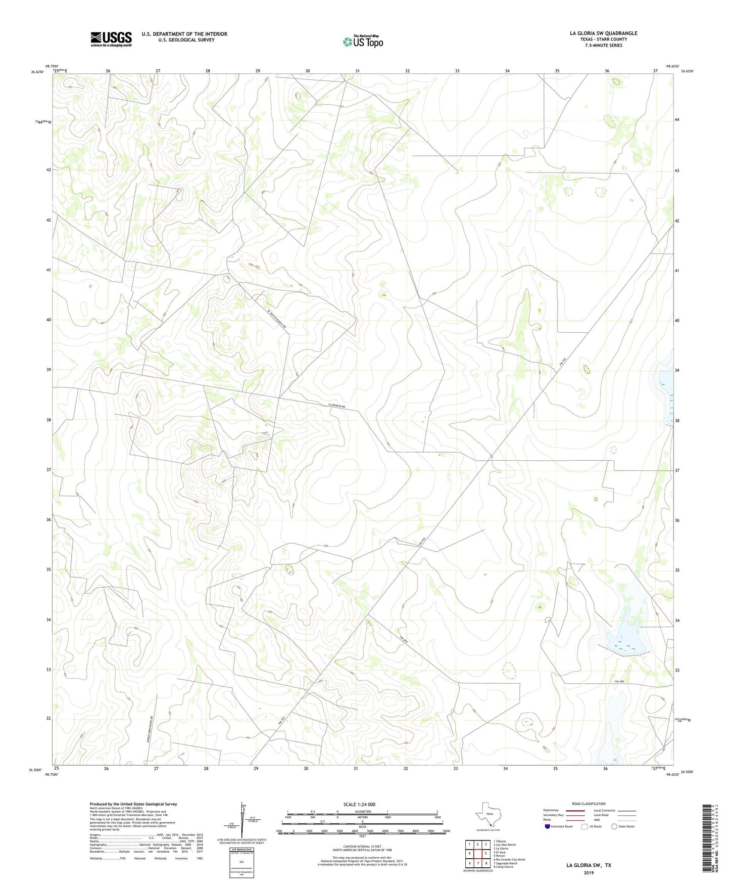
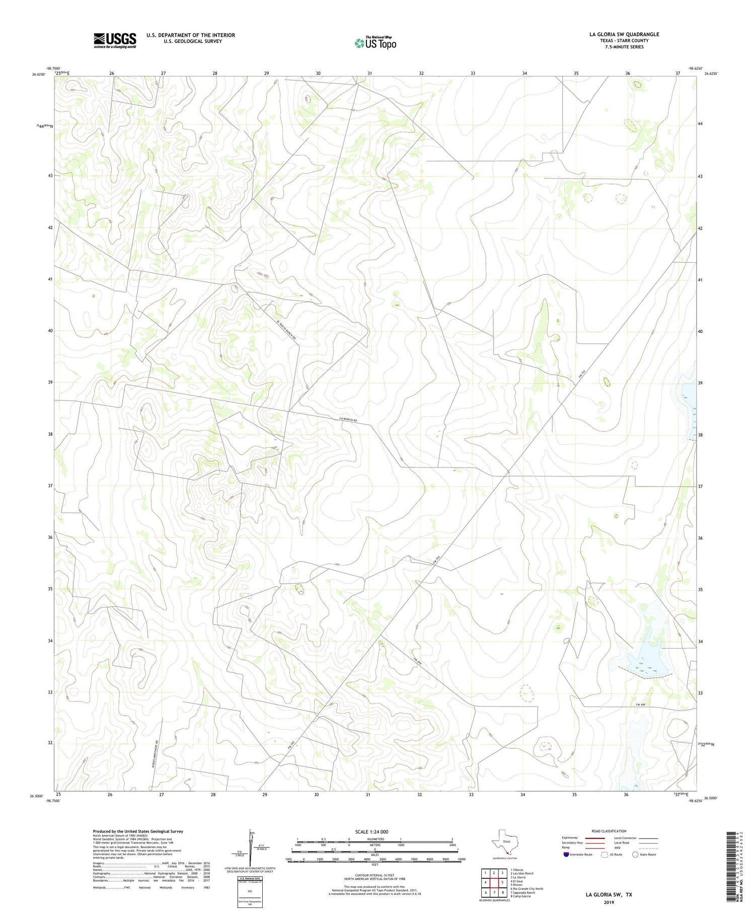
2019 topographic map quadrangle La Gloria SW in the state of Texas. Scale: 1:24000. Based on the newly updated USGS 7.5' US Topo map series, this map is in the following counties: Starr. The map contains contour data, water features, and other items you are used to seeing on USGS maps, but also has updated roads and other features. This is the next generation of topographic maps. Printed on high-quality waterproof paper with UV fade-resistant inks.
Quads adjacent to this one:
West: El Sauz
Northwest: Viboras
North: Las Islas Ranch
Northeast: La Gloria
East: Rincon
Southeast: Camp Garcia
South: Sagunada Ranch
Southwest: Rio Grande City North
Contains the following named places: Benadito Windmill, Borrachito Windmill, Charco del Rucio Tank, Dam Number 1, Dam Number 2, El Negro Ranch, Rio Grande City Division, San Ignacio Windmill Number One, San Ignacio Windmill Number Two, Soil Conservation Service Site 1 Dam, Soil Conservation Service Site 1 Reservoir, Soil Conservation Service Site 2 Dam, Soil Conservation Service Site 2 Reservoir, Starr County, ZIP Code: 78582