MyTopo
Langtry Texas US Topo Map
Couldn't load pickup availability
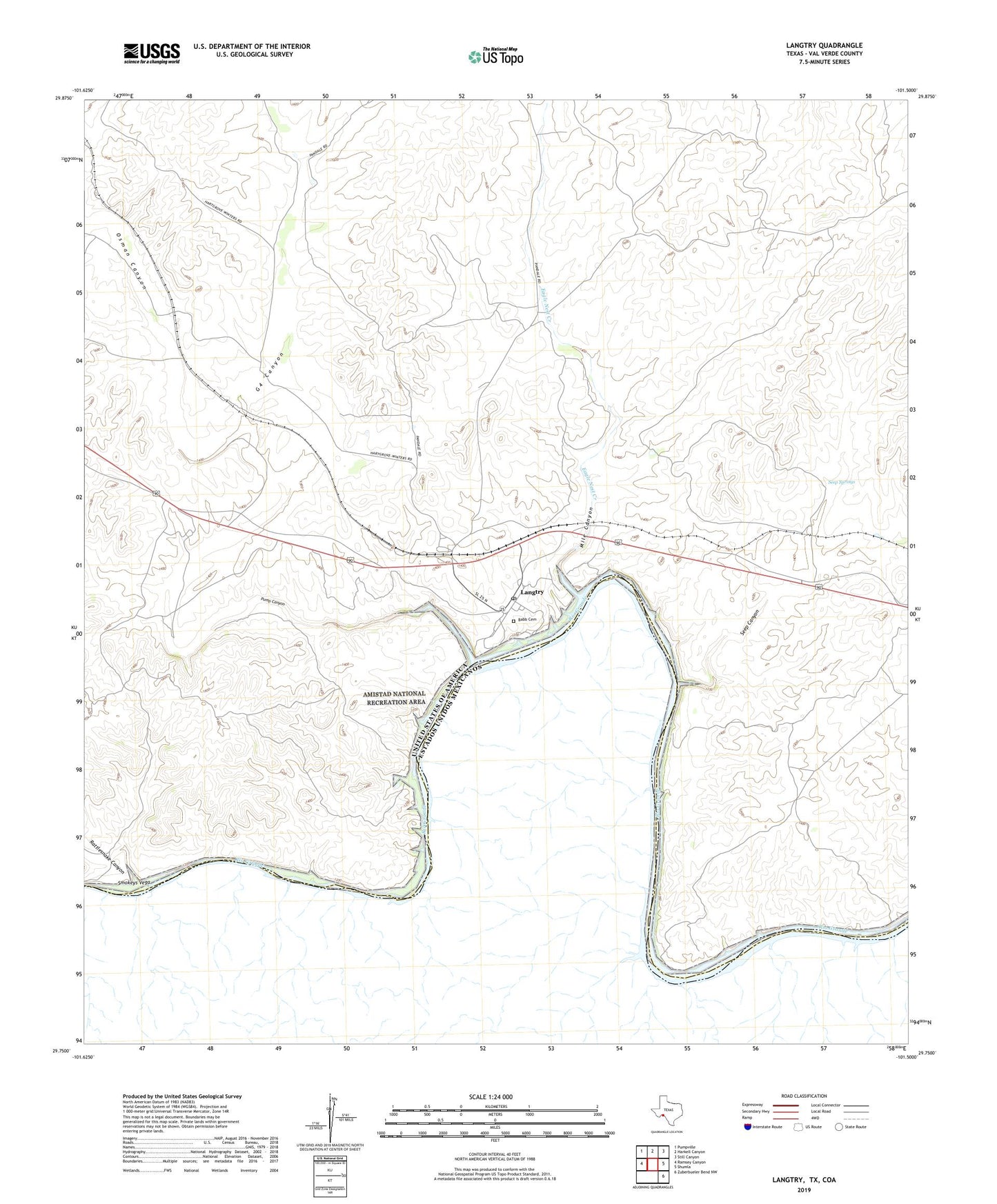
2019 topographic map quadrangle Langtry in the state of Texas. Scale: 1:24000. Based on the newly updated USGS 7.5' US Topo map series, this map is in the following counties: Val Verde. The map contains contour data, water features, and other items you are used to seeing on USGS maps, but also has updated roads and other features. This is the next generation of topographic maps. Printed on high-quality waterproof paper with UV fade-resistant inks.
Quads adjacent to this one:
West: Ramsey Canyon
Northwest: Pumpville
North: Harkell Canyon
Northeast: Still Canyon
East: Shumla
Southeast: Zuberbueler Bend NW
Contains the following named places: Babb Cemetery, Billings Ranch, Eagle Nest Creek, G4 Canyon, Home of Judge Roy Bean Law West of the Pecos, Ingram Ranch, J Fisher Ranch, Judge Roy Bean Visitor Center, Langtry, Langtry Post Office, Mile Canyon, Obryane Ranch, Osman Canyon, Pump Canyon, Rattlesnake Canyon, Seep Canyon, Seep Springs, Smokeys Vega