MyTopo
Pumpville Texas US Topo Map
Couldn't load pickup availability
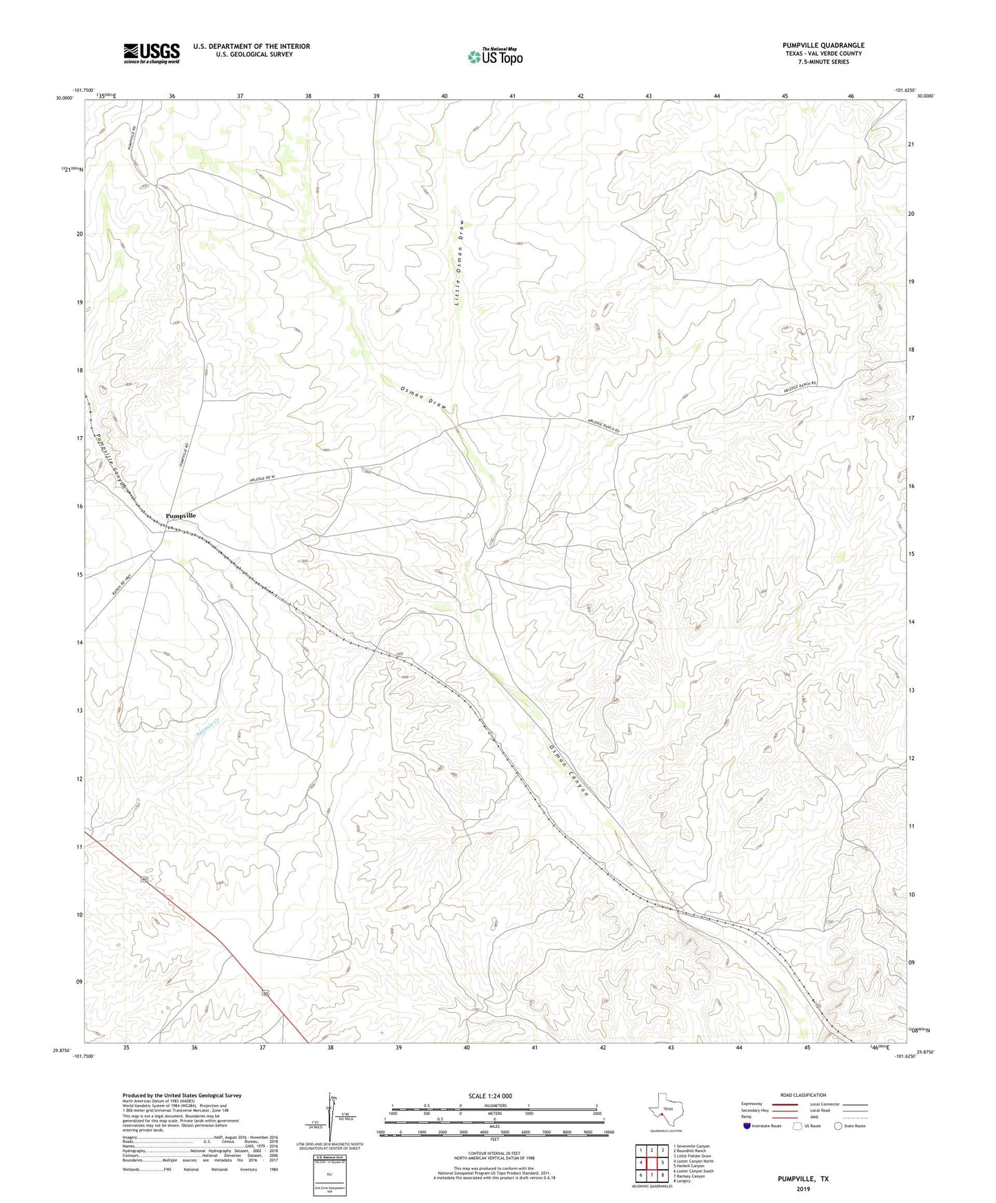
2022 topographic map quadrangle Pumpville in the state of Texas. Scale: 1:24000. Based on the newly updated USGS 7.5' US Topo map series, this map is in the following counties: Val Verde. The map contains contour data, water features, and other items you are used to seeing on USGS maps, but also has updated roads and other features. This is the next generation of topographic maps. Printed on high-quality waterproof paper with UV fade-resistant inks.
Quads adjacent to this one:
West: Lozier Canyon North
Northwest: Sevenmile Canyon
North: Roundhill Ranch
Northeast: Little Fielder Draw
East: Harkell Canyon
Southeast: Langtry
South: Ramsey Canyon
Southwest: Lozier Canyon South
This map covers the same area as the classic USGS quad with code o29101h6.
Contains the following named places: Arledge Ranch, Little Osman Draw, Osman, Osman Draw, Owen Ranch, Pumpville, Rancho Grande