MyTopo
Lone Mountain Texas US Topo Map
Couldn't load pickup availability
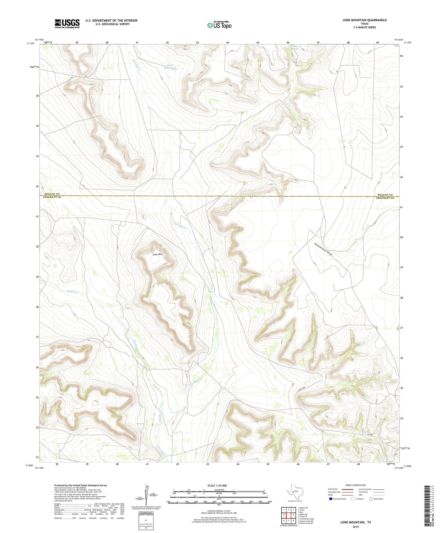
2019 topographic map quadrangle Lone Mountain in the state of Texas. Scale: 1:24000. Based on the newly updated USGS 7.5' US Topo map series, this map is in the following counties: Crockett, Reagan. The map contains contour data, water features, and other items you are used to seeing on USGS maps, but also has updated roads and other features. This is the next generation of topographic maps. Printed on high-quality waterproof paper with UV fade-resistant inks.
Quads adjacent to this one:
West: Rankin SE
Northwest: Rankin NE
North: Texon
Northeast: Best
East: Texon SE
Southeast: Owens Creek NE
South: Owens Creek NW
Southwest: Twelvemile Camp
Contains the following named places: Antelope Windmill, Big Sampson Windmill, Blue Ridge Windmill, Four Way Windmill, Gay Windmill, Lone Mountain, Mesquite Windmill, New Windmill, Noelke Creek, Redman Camp, Santa Maria Camp, Sugar Bowl Tank, T and L Windmill, Three Way Windmill, West Valley Windmill, Wildcat Windmill