MyTopo
Rankin SE Texas US Topo Map
Couldn't load pickup availability
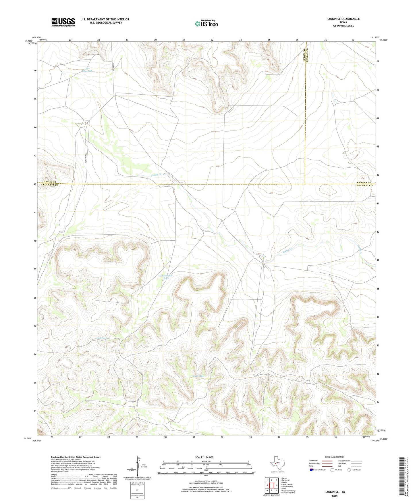
2022 topographic map quadrangle Rankin SE in the state of Texas. Scale: 1:24000. Based on the newly updated USGS 7.5' US Topo map series, this map is in the following counties: Crockett, Upton, Reagan. The map contains contour data, water features, and other items you are used to seeing on USGS maps, but also has updated roads and other features. This is the next generation of topographic maps. Printed on high-quality waterproof paper with UV fade-resistant inks.
Quads adjacent to this one:
West: Cedar Canyon
Northwest: Rankin
North: Rankin NE
Northeast: Texon
East: Lone Mountain
Southeast: Owens Creek NW
South: Twelvemile Camp
Southwest: Iraan
This map covers the same area as the classic USGS quad with code o31101a7.
Contains the following named places: Canyon Windmill, Goat Well, Government Tank, Lake Titsworth, Lost Tank, Lower Windmill, Middle Windmill, Midway Windmill, Noelke Ranch, Old Ranch Windmill, Pikes Peak Windmill, Pool Tank, Possum Head Windmill, Santa Rosa Windmill, Schlinke Windmill, Shell Windmill, South Windmill