MyTopo
Long Island Texas US Topo Map
Couldn't load pickup availability
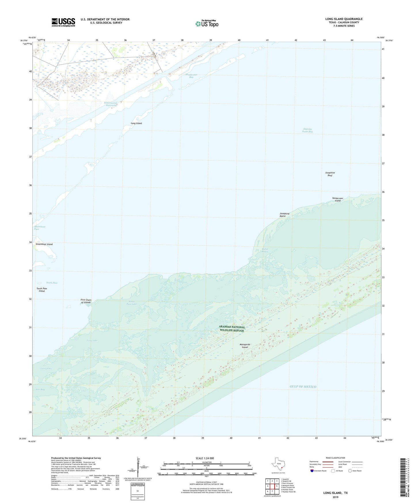
2019 topographic map quadrangle Long Island in the state of Texas. Scale: 1:24000. Based on the newly updated USGS 7.5' US Topo map series, this map is in the following counties: Calhoun. The map contains contour data, water features, and other items you are used to seeing on USGS maps, but also has updated roads and other features. This is the next generation of topographic maps. Printed on high-quality waterproof paper with UV fade-resistant inks.
Quads adjacent to this one:
West: Mosquito Point
Northwest: Seadrift
North: Seadrift NE
East: Pass Cavallo SW
South: Panther Point NE
Southwest: Panther Point
Contains the following named places: Contee Lake, Corey Cove, Espiritu Santo Bay, First Chain of Islands, Josephine Motte, Josephine Reef, Long Island, Long Lake, Matagorda Island State Park, Pats Bay, Power Lake, Pringle Lake, Rahal Bayou, Shoalwater Bay, South Pass, South Pass Island, South Pass Lake, Steamboat Island, Steamboat Pass, Vanderveer Island