
MyTopo
Mayfield Canyon Texas US Topo Map
Couldn't load pickup availability
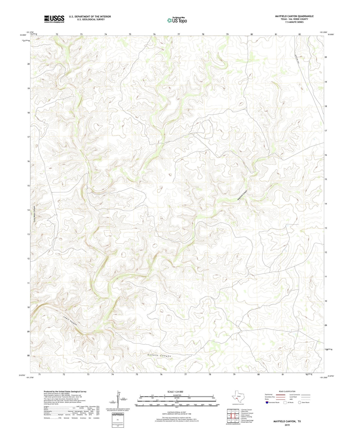
2019 topographic map quadrangle Mayfield Canyon in the state of Texas. Scale: 1:24000. Based on the newly updated USGS 7.5' US Topo map series, this map is in the following counties: Val Verde. The map contains contour data, water features, and other items you are used to seeing on USGS maps, but also has updated roads and other features. This is the next generation of topographic maps. Printed on high-quality waterproof paper with UV fade-resistant inks.
Quads adjacent to this one:
West: Still Canyon
Northwest: Everett Canyon
North: Blue Hills
Northeast: Sycamore Canyon
East: Bakers Crossing
Southeast: Dead Mans Pass
South: Pecos High Bridge
Southwest: Shumla
Contains the following named places: Gobble Canyon, Hayes Ranch, Lausen Ranch, Mayfield Canyon


