MyTopo
McKenzie Mountains Texas US Topo Map
Couldn't load pickup availability
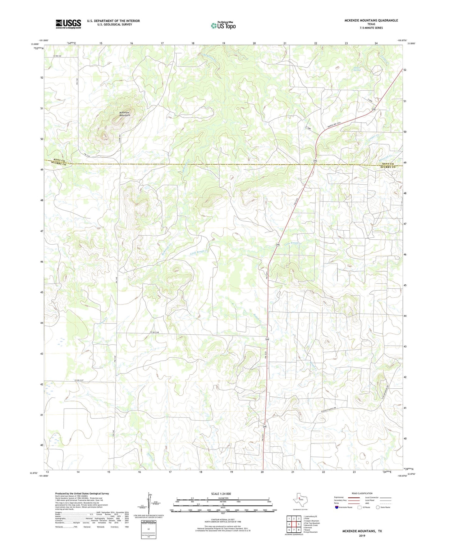
2019 topographic map quadrangle McKenzie Mountains in the state of Texas. Scale: 1:24000. Based on the newly updated USGS 7.5' US Topo map series, this map is in the following counties: Scurry, Kent. The map contains contour data, water features, and other items you are used to seeing on USGS maps, but also has updated roads and other features. This is the next generation of topographic maps. Printed on high-quality waterproof paper with UV fade-resistant inks.
Quads adjacent to this one:
West: Flat Top Mountain
Northwest: Justiceburg SE
North: Polar
Northeast: Cooper Mountain
East: Maverick Creek
Southeast: Lloyd Mountain
South: Brand
Southwest: Dermott
Contains the following named places: Elkins Springs, Fuller Oil Field, Fuller Ranch, McKenzie Mountains, PL Fuller Rough Creek Ranch Airport