MyTopo
Merkel East Texas US Topo Map
Couldn't load pickup availability
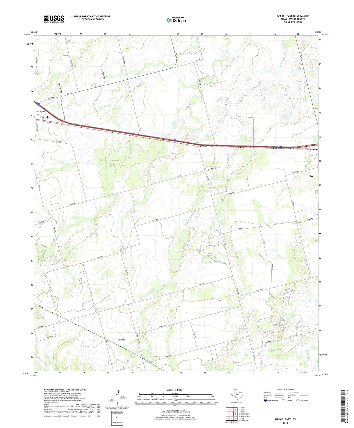
2019 topographic map quadrangle Merkel East in the state of Texas. Scale: 1:24000. Based on the newly updated USGS 7.5' US Topo map series, this map is in the following counties: Taylor. The map contains contour data, water features, and other items you are used to seeing on USGS maps, but also has updated roads and other features. This is the next generation of topographic maps. Printed on high-quality waterproof paper with UV fade-resistant inks.
Quads adjacent to this one:
West: Merkel West
Northwest: Noodle
North: Stith
Northeast: Hawley
East: Abilene West
Southeast: Buffalo Gap
South: View
Southwest: Mountain Pass
Contains the following named places: Cozart, Merkel Pumping Station, Mount Pleasant, Rose Hill Cemetery, ZIP Code: 79563