MyTopo
Middle Creek Texas US Topo Map
Couldn't load pickup availability
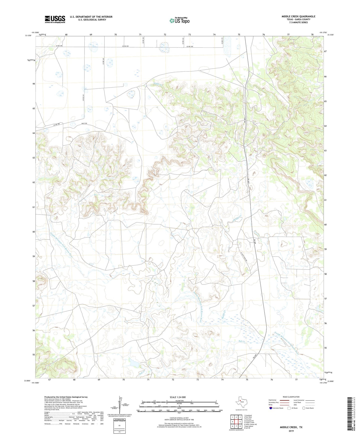
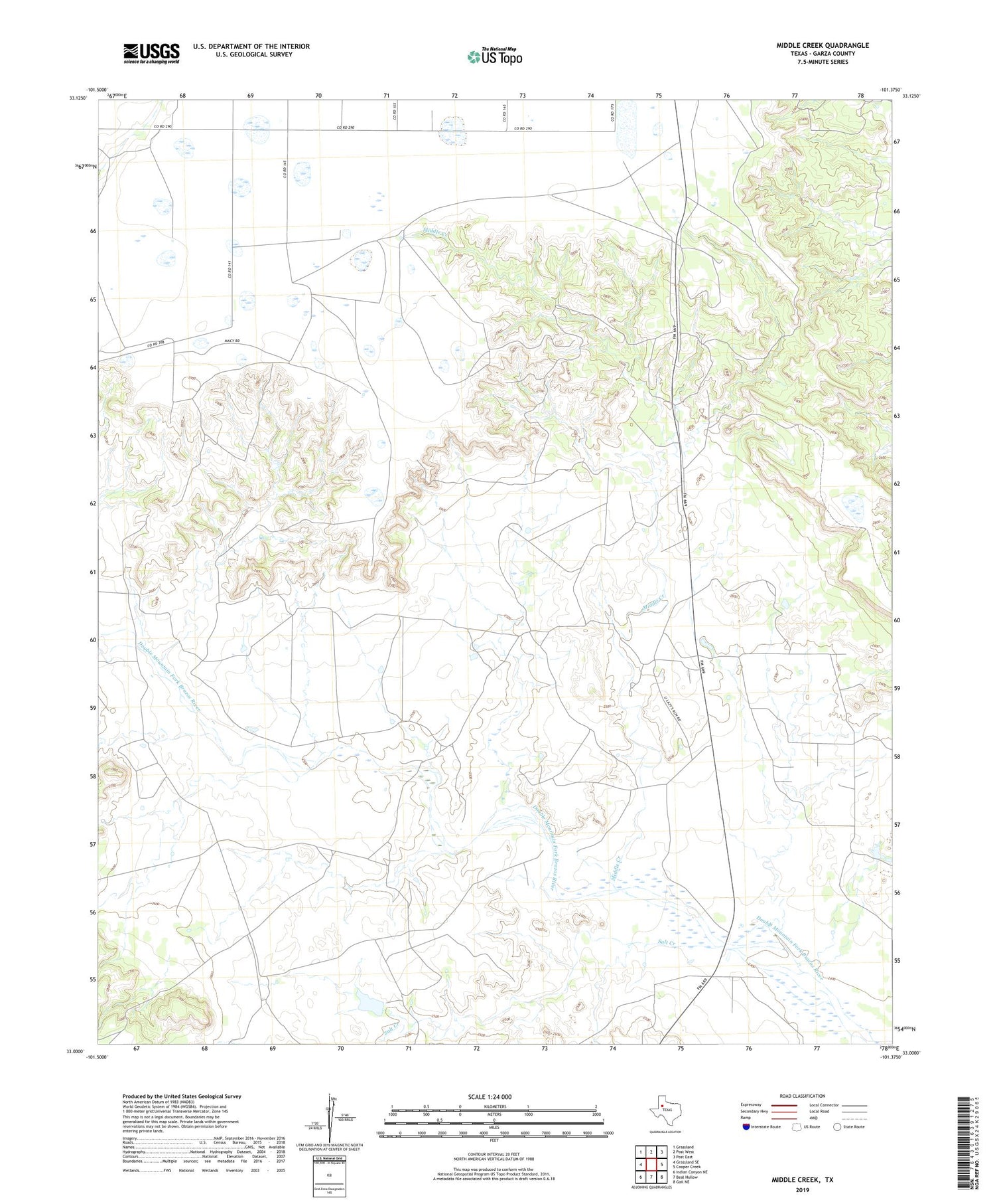
2019 topographic map quadrangle Middle Creek in the state of Texas. Scale: 1:24000. Based on the newly updated USGS 7.5' US Topo map series, this map is in the following counties: Garza. The map contains contour data, water features, and other items you are used to seeing on USGS maps, but also has updated roads and other features. This is the next generation of topographic maps. Printed on high-quality waterproof paper with UV fade-resistant inks.
Quads adjacent to this one:
West: Grassland SE
Northwest: Grassland
North: Post West
Northeast: Post East
East: Cooper Creek
Southeast: Gail NE
South: Beal Hollow
Southwest: Indian Canyon NE
Contains the following named places: Hutchinson County Library, Macy Ranch Airport, Middle Creek, Salt Creek, U Lazy S Ranch