MyTopo
Monahans SE Texas US Topo Map
Couldn't load pickup availability
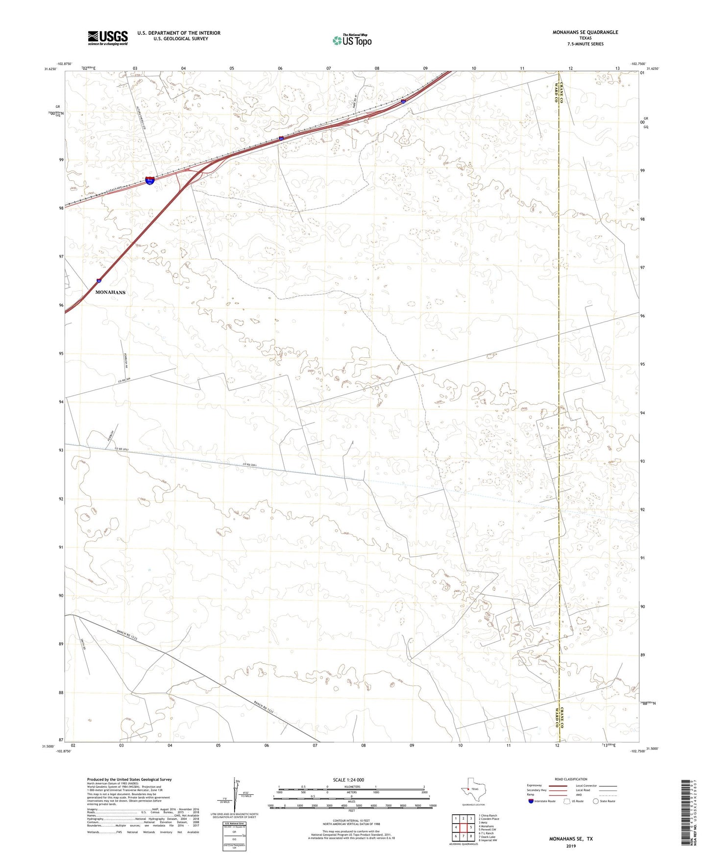
2019 topographic map quadrangle Monahans SE in the state of Texas. Scale: 1:24000. Based on the newly updated USGS 7.5' US Topo map series, this map is in the following counties: Ward, Crane. The map contains contour data, water features, and other items you are used to seeing on USGS maps, but also has updated roads and other features. This is the next generation of topographic maps. Printed on high-quality waterproof paper with UV fade-resistant inks.
Quads adjacent to this one:
West: Monahans
Northwest: China Ranch
North: Cowden Place
Northeast: Metz
East: Penwell SW
Southeast: Imperial NW
South: Ozark Lake
Southwest: 7 L Ranch
Contains the following named places: Bill Vest Windmill, Crawar Oil Field, Demster Windmill, High Lonesome Windmill, Janelle Oil Field, Julian Windmill, May Windmill, Moon Windmill, North Adolph Windmill, North Estes Windmill, Railroad Windmill, Tacky Windmill, Twin Tubs Windmill, Two G Windmill, Windmill Number Eight, Windmill Number Eleven, Windmill Number Five, Windmill Number Four, Windmill Number Nine, Windmill Number Six, Windmill Number Ten, ZIP Code: 79756