MyTopo
Palmito Hill Texas US Topo Map
Couldn't load pickup availability
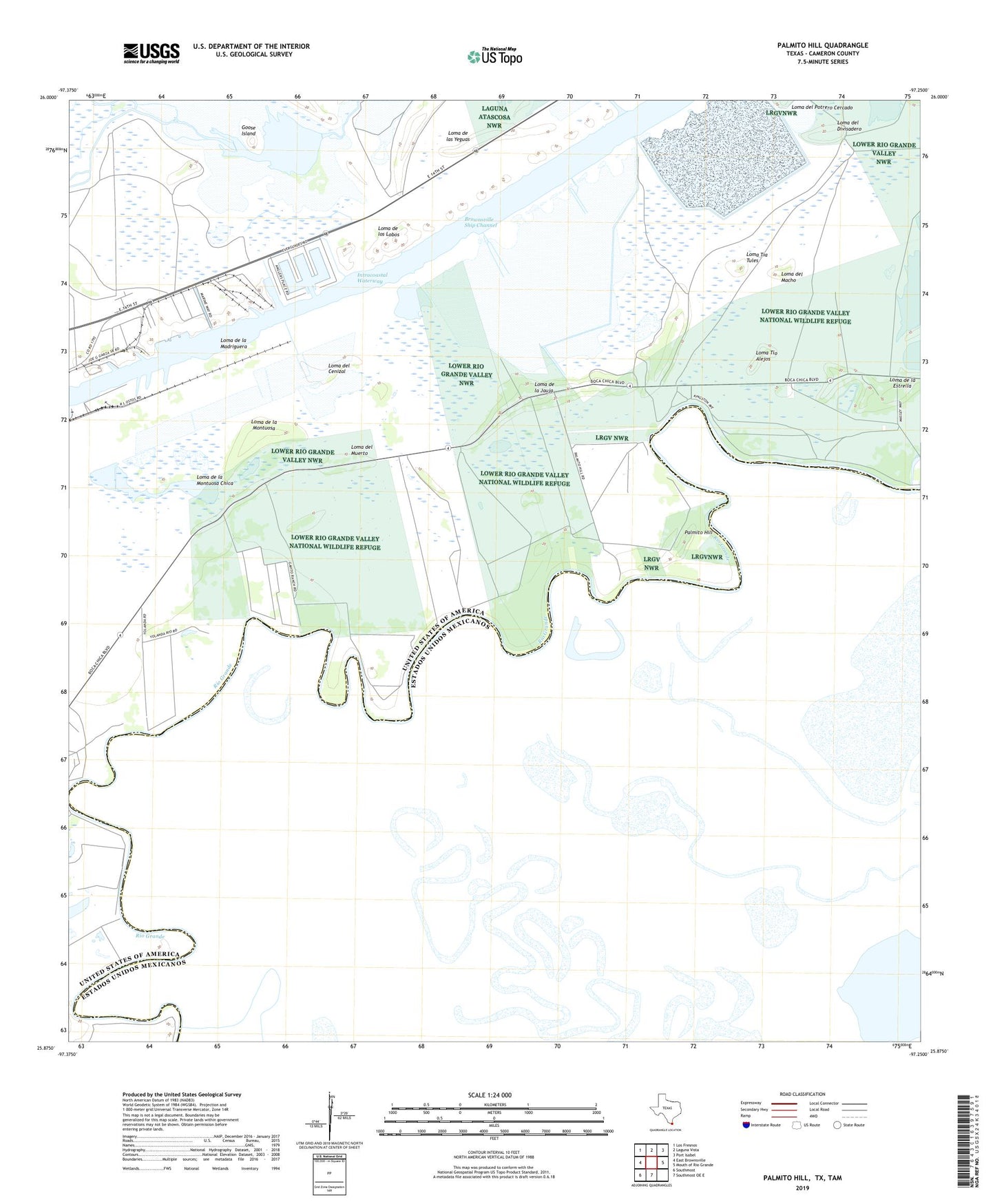
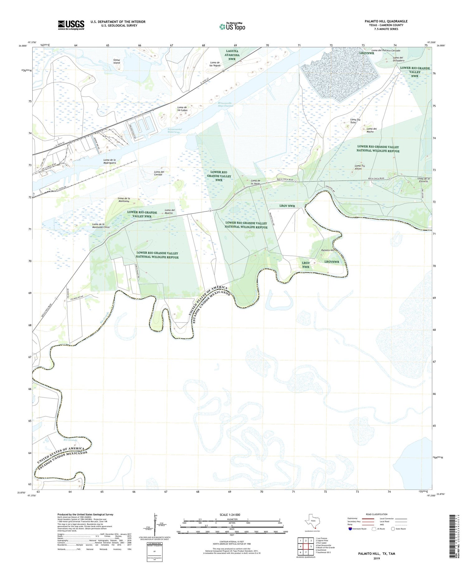
2019 topographic map quadrangle Palmito Hill in the state of Texas. Scale: 1:24000. Based on the newly updated USGS 7.5' US Topo map series, this map is in the following counties: Cameron. The map contains contour data, water features, and other items you are used to seeing on USGS maps, but also has updated roads and other features. This is the next generation of topographic maps. Printed on high-quality waterproof paper with UV fade-resistant inks.
Quads adjacent to this one:
West: East Brownsville
Northwest: Los Fresnos
North: Laguna Vista
Northeast: Port Isabel
East: Mouth of Rio Grande
South: Southmost OE E
Southwest: Southmost
Contains the following named places: Battle of Palmito Hill Historical Monument, Brownsville Fishing Harbor, Caja Pinta Banco Number 80, El Rincon Banco Number 126, Goose Island, Goose Island Passing Basin, Loma de la Jauja, Loma de la Madriguera, Loma de la Montuosa, Loma de la Montuosa Chica, Loma de las Yeguas, Loma de los Lobos, Loma del Cenizal, Loma del Divisadero, Loma del Macho, Loma del Muerto, Loma Tia Tules, Loma Tio Alejos, Los Sauces Ranch, Old Palmito Ranch, Old Tulosa Ranch Site, Palmito Hill, Palmito Hill Battlefield, Palmito Ranch, Palmito Ranch Battlefield, San Miguel Banco Number 88, San Miguel Banco Number Eighty-eight, ZIP Code: 78521