MyTopo
Southmost Texas US Topo Map
Couldn't load pickup availability
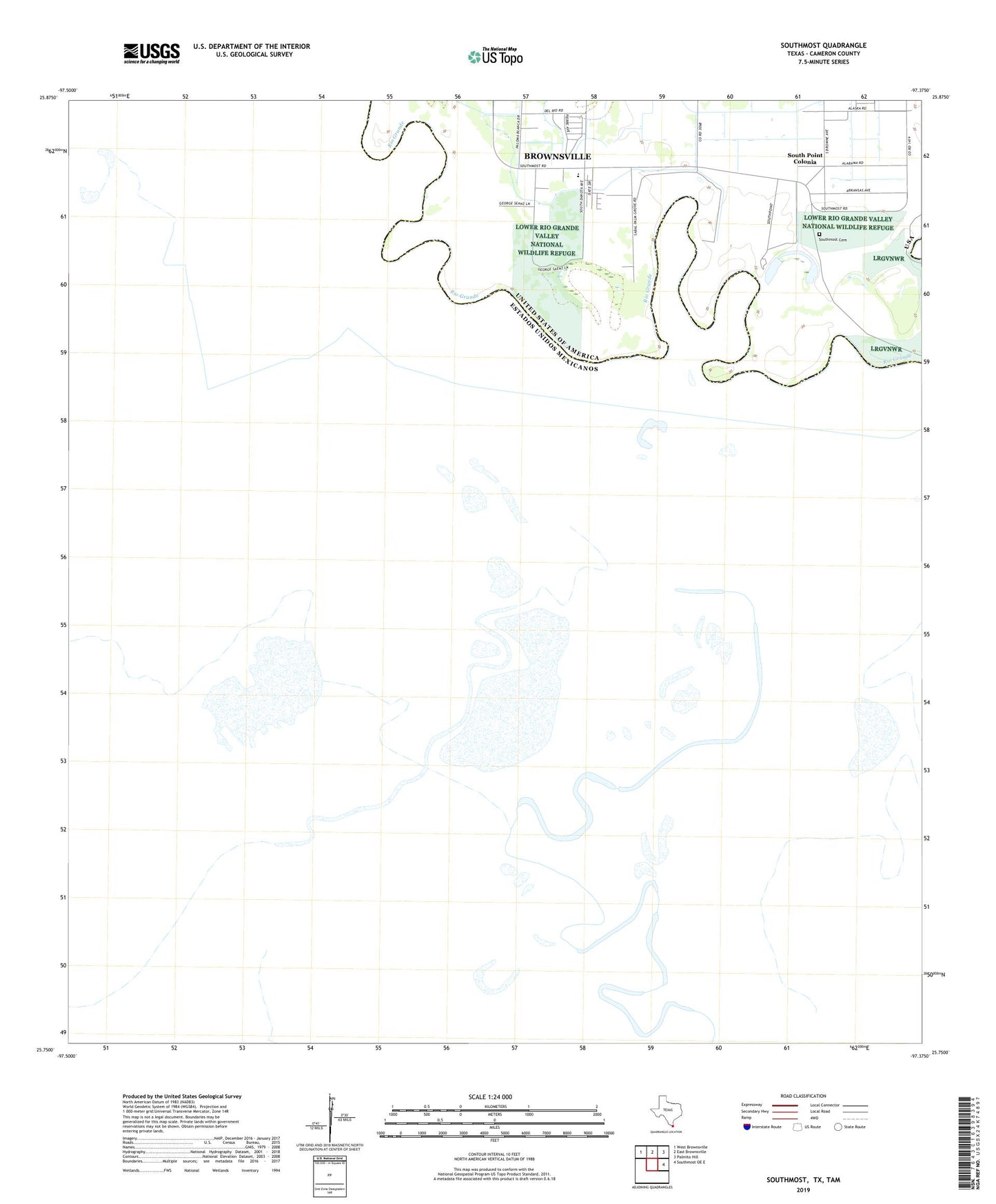
2022 topographic map quadrangle Southmost in the state of Texas. Scale: 1:24000. Based on the newly updated USGS 7.5' US Topo map series, this map is in the following counties: Cameron. The map contains contour data, water features, and other items you are used to seeing on USGS maps, but also has updated roads and other features. This is the next generation of topographic maps. Printed on high-quality waterproof paper with UV fade-resistant inks.
Quads adjacent to this one:
Northwest: West Brownsville
North: East Brownsville
Northeast: Palmito Hill
East: Southmost OE E
This map covers the same area as the classic USGS quad with code o25097g3.
Contains the following named places: Alabama-Arkansas Colonia, Angel Haven Colonia, Brulay Plantation, Cisneros Estates Colonia, English Farms, La Canasta Banco Number 4, Longoreno Banco Number 3, Los Borregos Banco Number 123, Nogales Ranch, Palm Grove, Palm Grove Elementary School, South Point, South Point Census Designated Place, South Point Colonia, Southmost Cemetery, Southmost Ranch, Valle Hermosa Colonia