MyTopo
Panther Bluff Texas US Topo Map
Couldn't load pickup availability
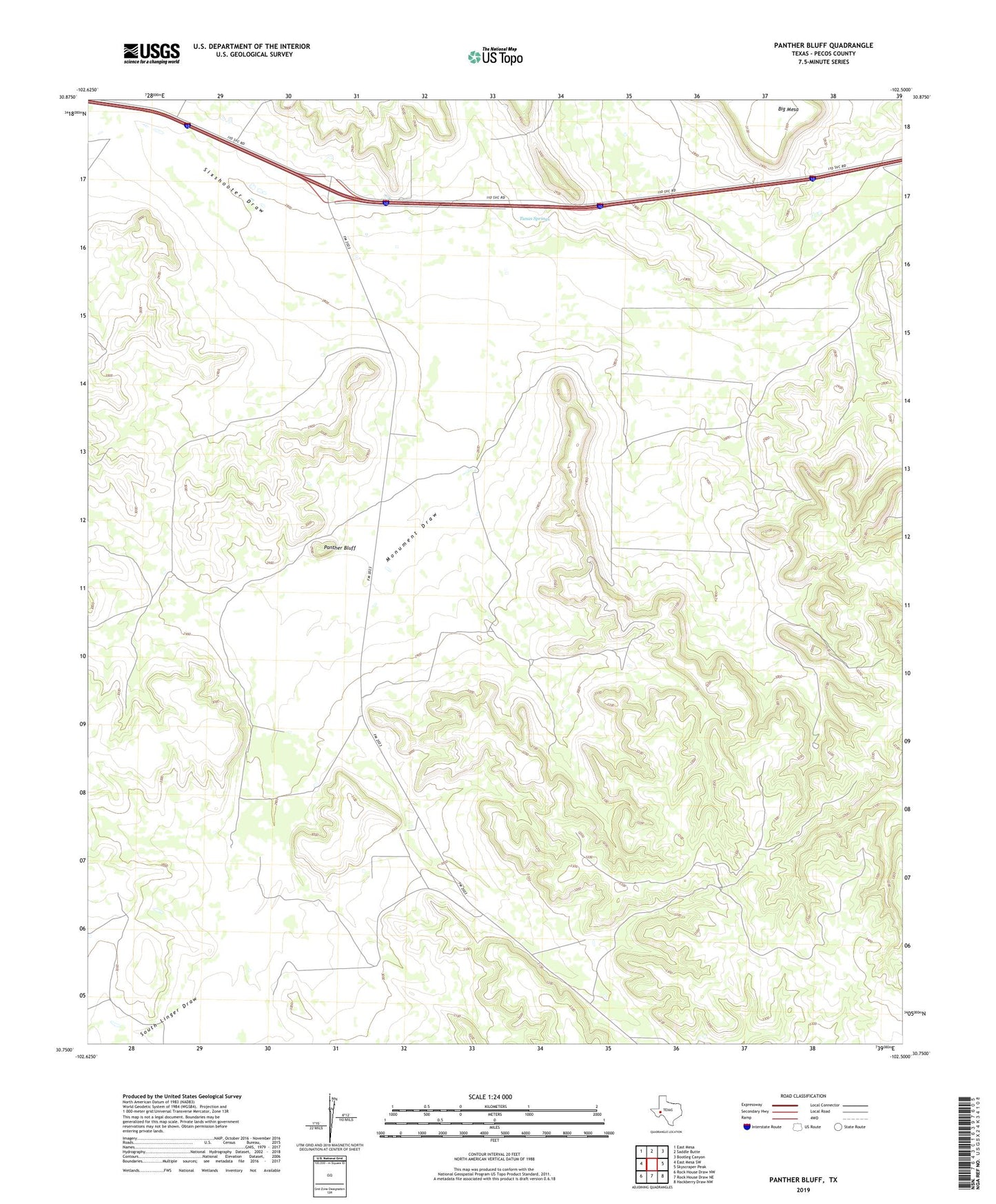
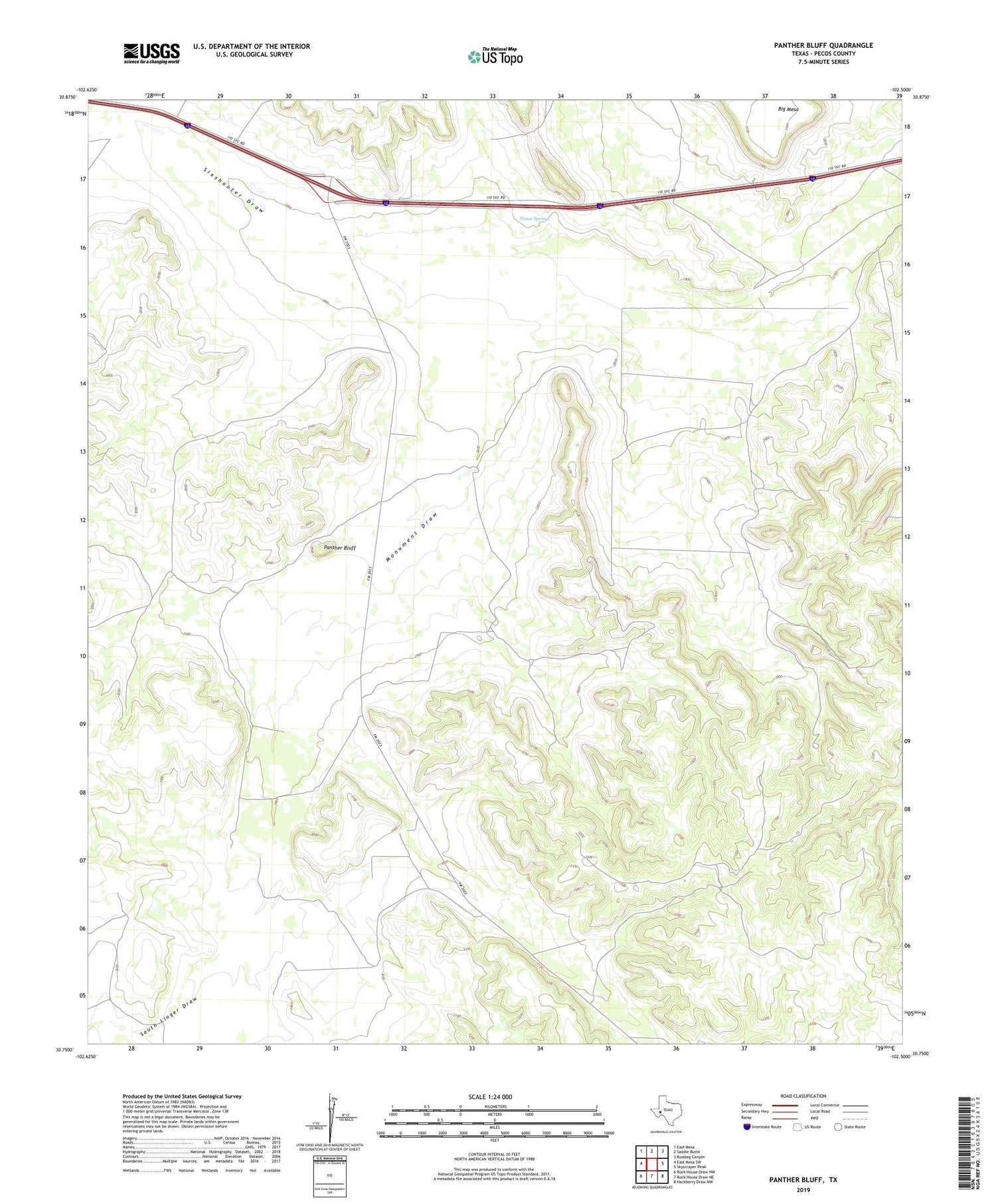
2019 topographic map quadrangle Panther Bluff in the state of Texas. Scale: 1:24000. Based on the newly updated USGS 7.5' US Topo map series, this map is in the following counties: Pecos. The map contains contour data, water features, and other items you are used to seeing on USGS maps, but also has updated roads and other features. This is the next generation of topographic maps. Printed on high-quality waterproof paper with UV fade-resistant inks.
Quads adjacent to this one:
West: East Mesa SW
Northwest: East Mesa
North: Saddle Butte
Northeast: Bootleg Canyon
East: Skyscraper Peak
Southeast: Hackberry Draw NW
South: Rock House Draw NE
Southwest: Rock House Draw NW
Contains the following named places: Dry Trap Windmill, East Windmill, Gap Windmill, Government Windmill, Harral Ranch, McKenzie Ranch, McKenzie Well, Monument Draw, North Windmill, Panther Bluff, Point Windmill, Posey Windmill, Sixshooter Draw, South Linger Draw, South Well, Tunas Springs, Twomile Windmill, West Windmill