MyTopo
Penwell Texas US Topo Map
Couldn't load pickup availability
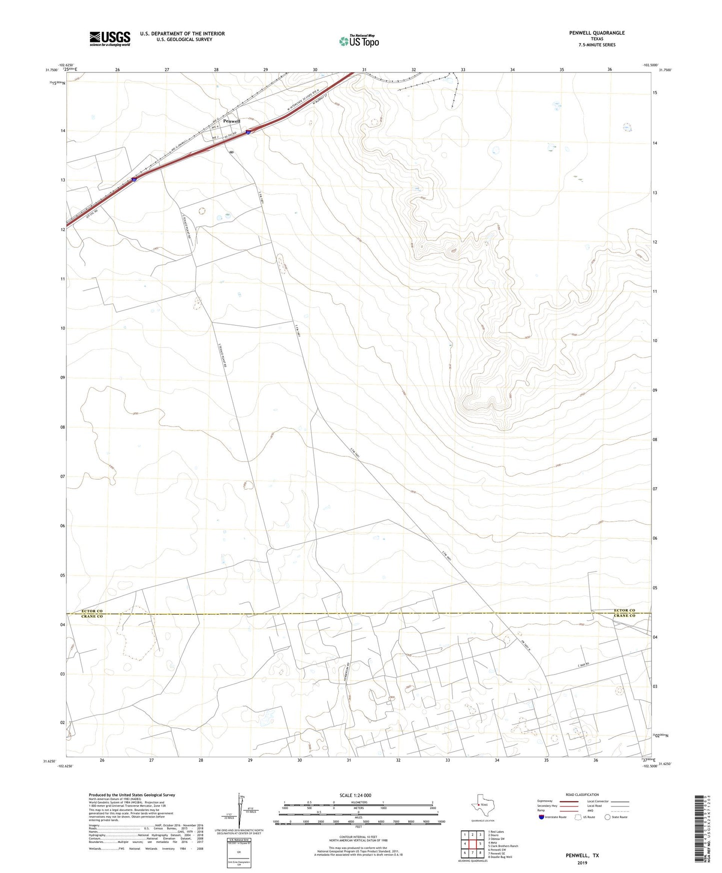
2019 topographic map quadrangle Penwell in the state of Texas. Scale: 1:24000. Based on the newly updated USGS 7.5' US Topo map series, this map is in the following counties: Ector, Crane. The map contains contour data, water features, and other items you are used to seeing on USGS maps, but also has updated roads and other features. This is the next generation of topographic maps. Printed on high-quality waterproof paper with UV fade-resistant inks.
Quads adjacent to this one:
West: Metz
Northwest: Red Lakes
North: Douro
Northeast: Odessa SW
East: Clark Brothers Ranch
Southeast: Doodle Bug Well
South: Penwell SE
Southwest: Penwell SW
Contains the following named places: Badger, Bradley Barn Well, Bradley Well, C-Bar Ranch, Germany Wells, Nester Well, New Well, Penwell, Penwell Church, Penwell Post Office, Yates Well