MyTopo
Pottsboro Texas US Topo Map
Couldn't load pickup availability
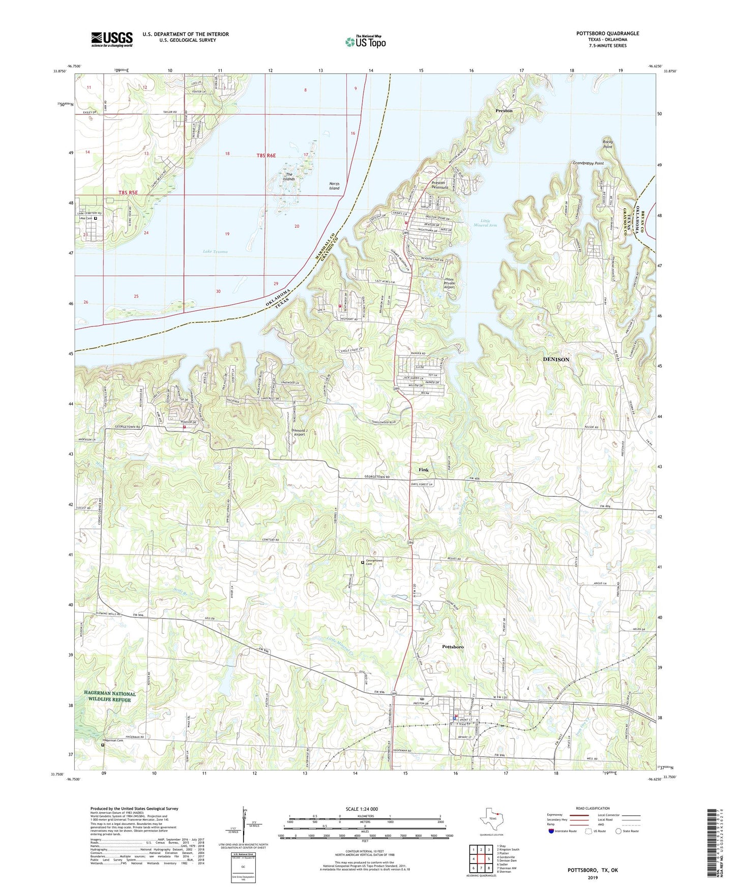
2019 topographic map quadrangle Pottsboro in the states of Texas, Oklahoma. Scale: 1:24000. Based on the newly updated USGS 7.5' US Topo map series, this map is in the following counties: Grayson, Marshall, Bryan. The map contains contour data, water features, and other items you are used to seeing on USGS maps, but also has updated roads and other features. This is the next generation of topographic maps. Printed on high-quality waterproof paper with UV fade-resistant inks.
Quads adjacent to this one:
West: Gordonville
Northwest: Shay
North: Kingston South
Northeast: Platter
East: Denison Dam
Southeast: Sherman
South: Sherman NW
Southwest: Sadler
Contains the following named places: Black Family Cemetery, Brogdon Cemetery, Cambridge, Coast Guard Auxiliary Lake Fire Station, Community Church, Diamond J Airport, Fink, First Baptist Church, Georgetown Cemetery, Government Cemetery, Grandpappy Point, Grandpappy Point Landing Strip, Grandpappy Point Park, Hagerman Cemetery, Henderson Ferry, Highport Public Use Area, Hitex Private Airport, Holder Cemetery, Island View Park, Island View Public Use Area, Lakeway United Methodist Church, Lark, Lark Cemetery, Little Mineral Arm, Little Mineral Creek, Loes Highport Landing Strip, Massey - Steel Cemetery, North Island, Pottsboro, Pottsboro City Hall, Pottsboro Fire Department, Pottsboro Police Department, Pottsboro Post Office, Preston Bend Park, Preston Census Designated Place, Preston Peninsula, Preston Volunteer Emergency Medical Services Station 2, Preston Volunteer Emergency Services Station 1, Rocky Point, Russell Dam, Russell Lake, Texoma Landing Field, The Islands, Town of Pottsboro, Willow Spring, Willow Springs Church, Willow Springs School, ZIP Code: 75076