
MyTopo
Quail Texas US Topo Map
Couldn't load pickup availability
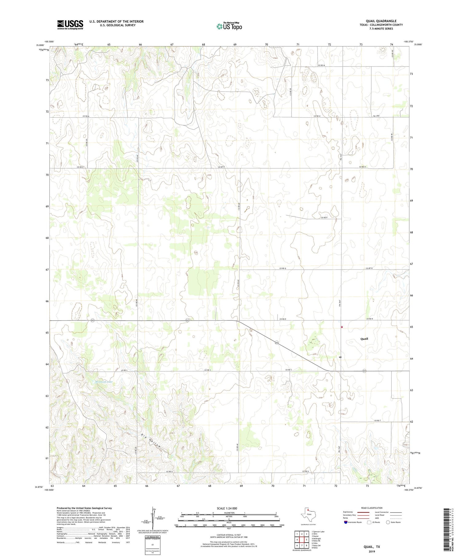
2019 topographic map quadrangle Quail in the state of Texas. Scale: 1:24000. Based on the newly updated USGS 7.5' US Topo map series, this map is in the following counties: Collingsworth. The map contains contour data, water features, and other items you are used to seeing on USGS maps, but also has updated roads and other features. This is the next generation of topographic maps. Printed on high-quality waterproof paper with UV fade-resistant inks.
Quads adjacent to this one:
West: McKnight
Northwest: Spencer Lake
North: Abra
Northeast: Dozier
East: Rolla NE
Southeast: Rolla
South: Rolla SW
Southwest: Giles
Contains the following named places: Marilla, McIntosh Lake, McIntosh Lake Dam, O'Hair Springs, Quail, Quail Census Designated Place, Quail Post Office, Quail Volunteer Fire Department, ZIP Code: 79251


