MyTopo
McKnight Texas US Topo Map
Couldn't load pickup availability
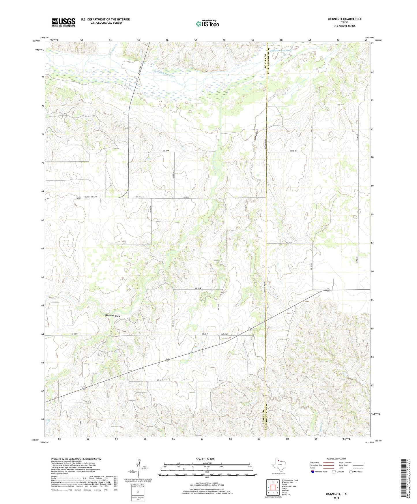
2023 topographic map quadrangle McKnight in the state of Texas. Scale: 1:24000. Based on the newly updated USGS 7.5' US Topo map series, this map is in the following counties: Donley, Collingsworth. The map contains contour data, water features, and other items you are used to seeing on USGS maps, but also has updated roads and other features. This is the next generation of topographic maps. Printed on high-quality waterproof paper with UV fade-resistant inks.
Quads adjacent to this one:
West: Lelia Lake Creek
Northwest: Troublesome Creek
North: Spencer Lake
Northeast: Abra
East: Quail
Southeast: Rolla SW
South: Giles
Southwest: Hedley
This map covers the same area as the classic USGS quad with code o34100h5.
Contains the following named places: Hedley Airport, Jesse Arroyo, McKnight, Oklahoma Draw, Ring Church, Whitefish Creek