MyTopo
Rincon Bend Texas US Topo Map
Couldn't load pickup availability
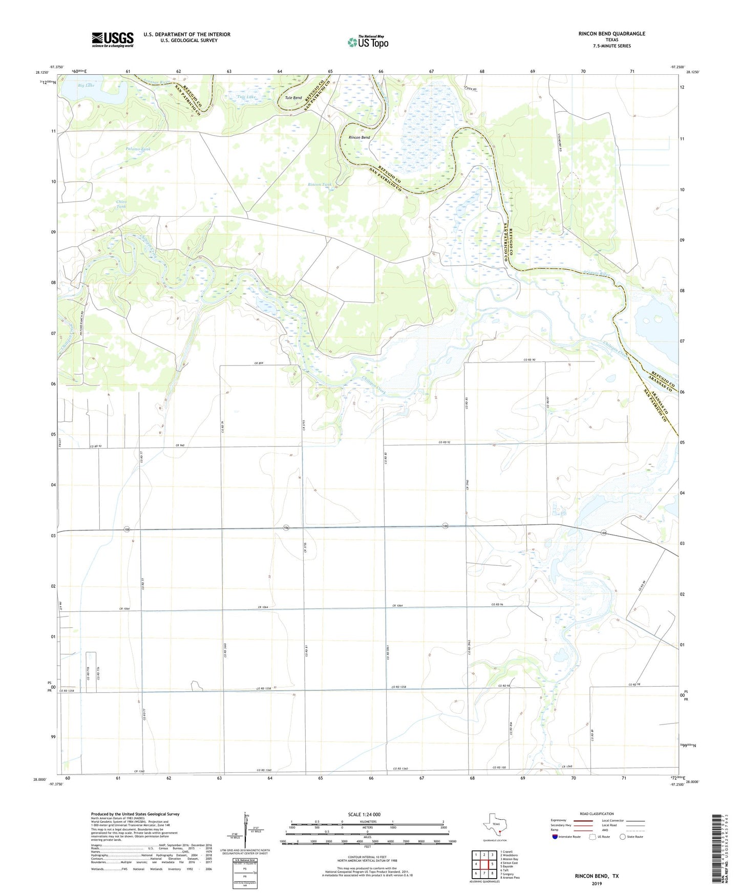
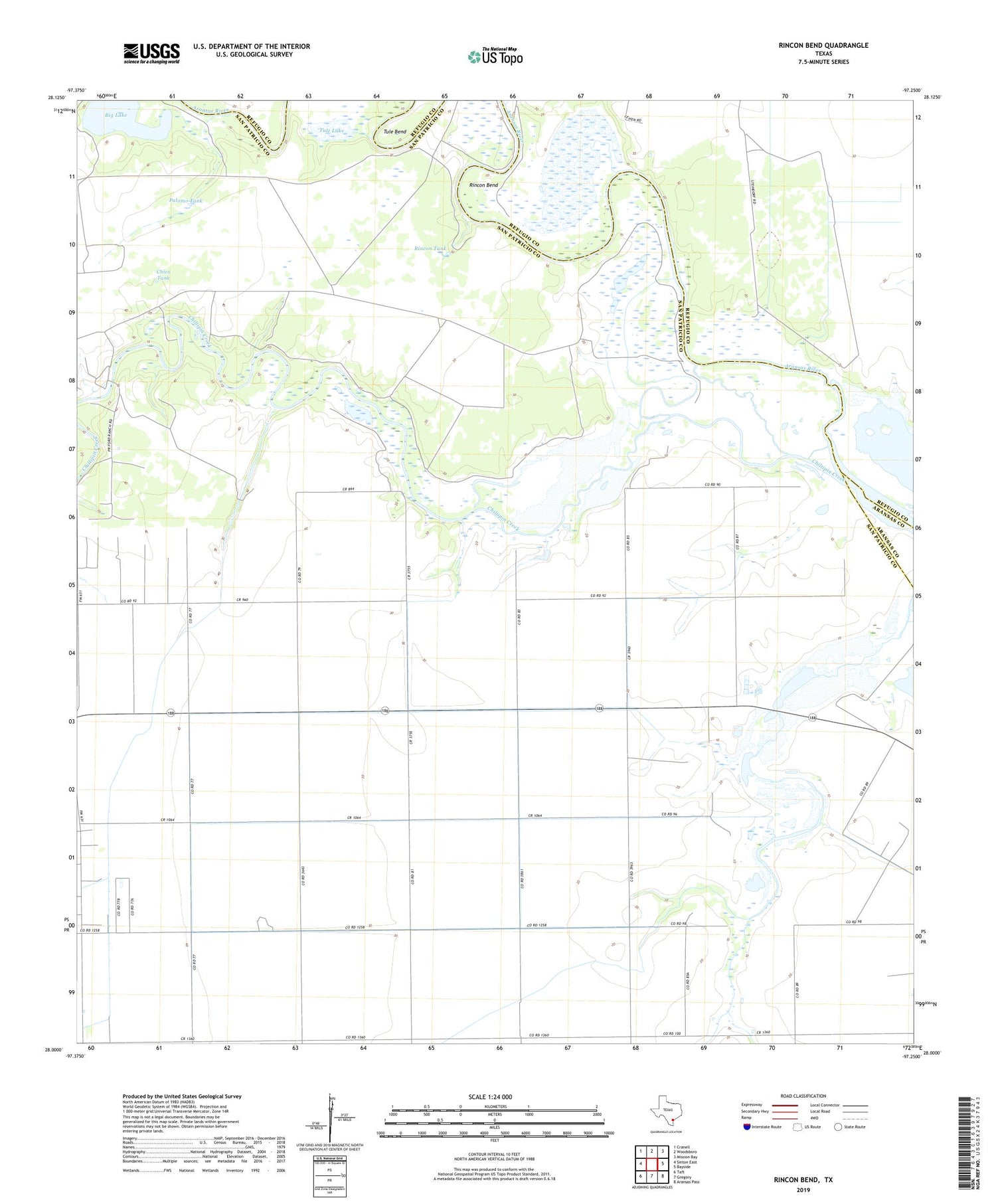
2019 topographic map quadrangle Rincon Bend in the state of Texas. Scale: 1:24000. Based on the newly updated USGS 7.5' US Topo map series, this map is in the following counties: San Patricio, Refugio, Aransas. The map contains contour data, water features, and other items you are used to seeing on USGS maps, but also has updated roads and other features. This is the next generation of topographic maps. Printed on high-quality waterproof paper with UV fade-resistant inks.
Quads adjacent to this one:
West: Sinton East
Northwest: Cranell
North: Woodsboro
Northeast: Mission Bay
East: Bayside
Southeast: Aransas Pass
South: Gregory
Southwest: Taft
Contains the following named places: Big Lake, Black Point, Chico Tank, Chiltipin Creek, Coyote Windmill, Mare Trap Windmill, Ohiva Windmill, Palomo Tank, Plymouth Gas and Oil Field, Rincon Bend, Rincon Tank, Taft Oil and Gas Field, Tule Bend, Tule Lake