MyTopo
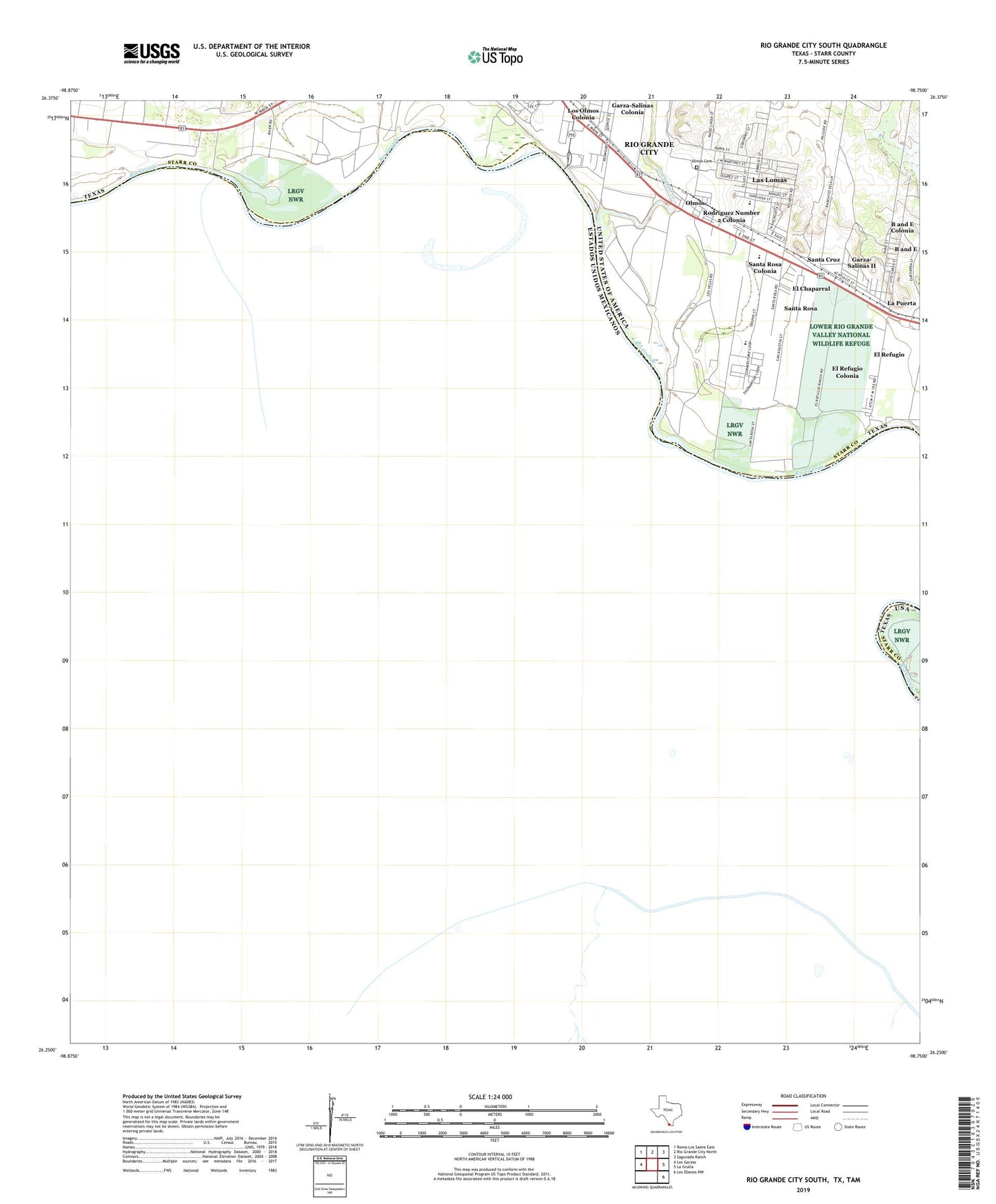
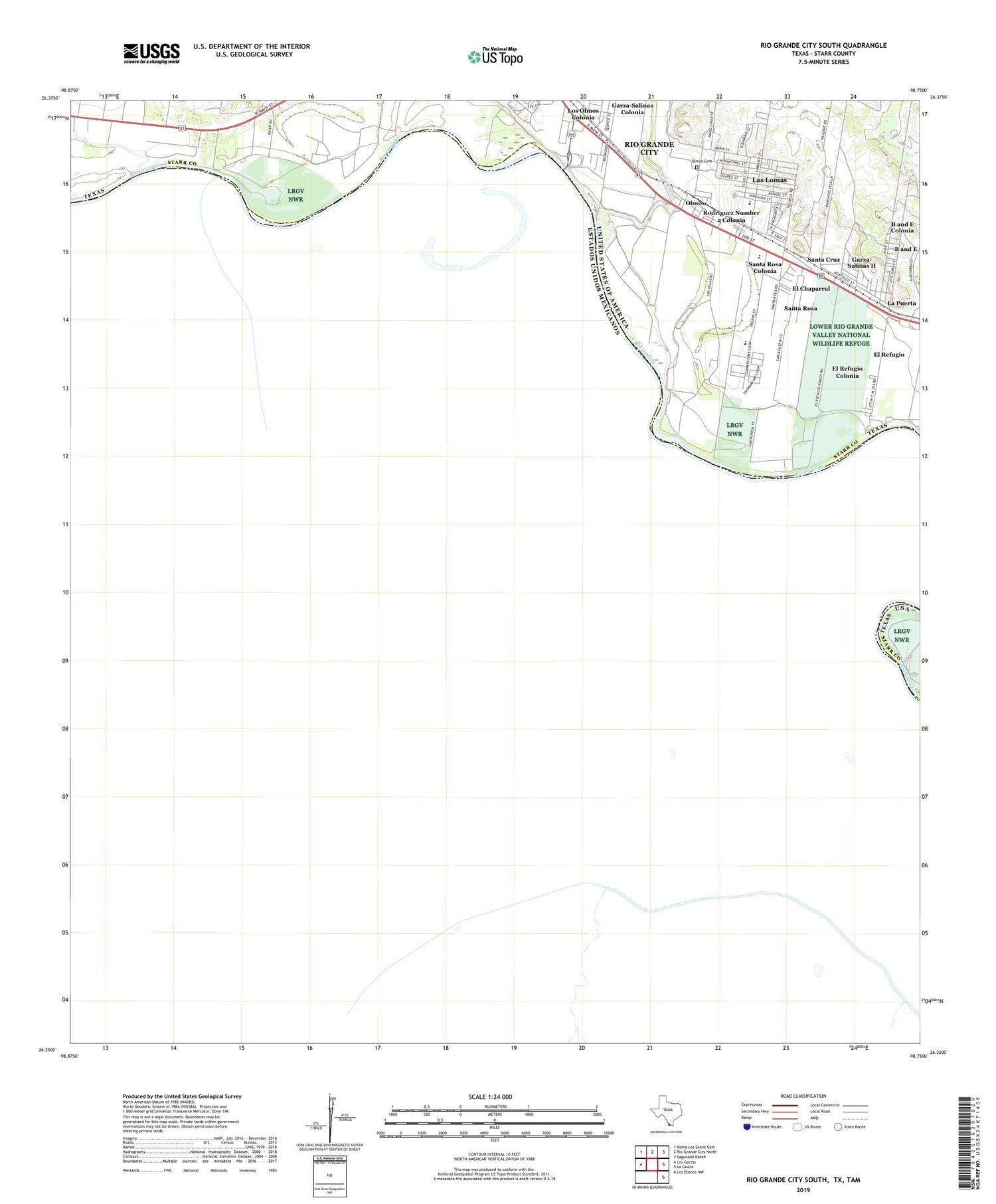
Rio Grande City South Texas US Topo Map
Couldn't load pickup availability
2019 topographic map quadrangle Rio Grande City South in the state of Texas. Scale: 1:24000. Based on the newly updated USGS 7.5' US Topo map series, this map is in the following counties: Starr. The map contains contour data, water features, and other items you are used to seeing on USGS maps, but also has updated roads and other features. This is the next generation of topographic maps. Printed on high-quality waterproof paper with UV fade-resistant inks.
Quads adjacent to this one:
West: Los Garzas
Northwest: Roma-Los Saenz East
North: Rio Grande City North
Northeast: Sagunada Ranch
East: La Grulla
Southeast: Los Ebanos NW
Contains the following named places: B and E Census Designated Place, B and E Colonia, Casa Banco Number 90, El Chaparral Census Designated Place, El Chaparral Number 1 Colonia, El Chaparral Number 2 Colonia, El Refugio, El Refugio Census Designated Place, El Refugio Colonia, Fort Ringgold Historic Site, Garza-Salinas Colonia, Garza-Salinas II Census Designated Place, Garza-Salinas Number 2 Colonia, Hinojosa Elementary School, La Puerta Census Designated Place, La Puerta Number 2 Colonia, Las Lomas, Las Lomas Census Designated Place, Los Adjuntas Banco Number 91, Los Olmos Creek, Los Velas, North Santa Cruz Colonia, Olmos, Olmos Cemetery, Ringgold Middle School, Rio Grande City Hall, Rodriguez Number 1 Colonia, Rodriguez Number 2 Colonia, Santa Cruz, Santa Cruz Census Designated Place, Santa Cruz Number 2 Colonia, Santa Rosa Census Designated Place, Santa Rosa Colonia, Share 52 Colonia, Tamez Colonia, Tierra Linda Colonia, Villareales, Yzaguirre Banco Number 58