MyTopo
Los Garzas Texas US Topo Map
Couldn't load pickup availability
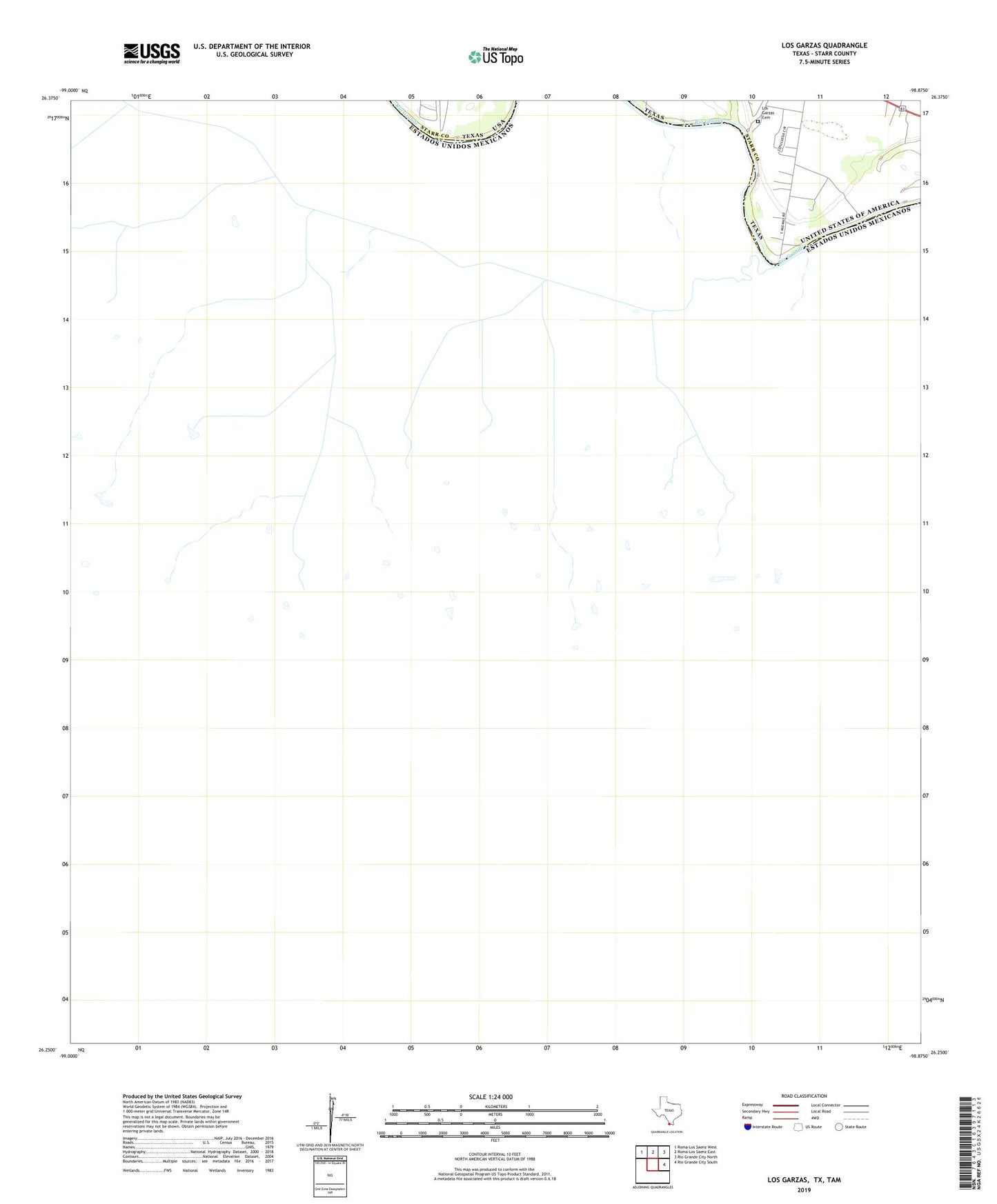
2022 topographic map quadrangle Los Garzas in the state of Texas. Scale: 1:24000. Based on the newly updated USGS 7.5' US Topo map series, this map is in the following counties: Starr. The map contains contour data, water features, and other items you are used to seeing on USGS maps, but also has updated roads and other features. This is the next generation of topographic maps. Printed on high-quality waterproof paper with UV fade-resistant inks.
Quads adjacent to this one:
Northwest: Roma-Los Saenz West
North: Roma-Los Saenz East
Northeast: Rio Grande City North
East: Rio Grande City South
This map covers the same area as the classic USGS quad with code o26098c8.
Contains the following named places: Arroyo Quiote, Las Palomas Wildlife Management Area - Prieta Unit, Los Garzas, Los Garzas Cemetery