MyTopo
San Miguel Ranch Texas US Topo Map
Couldn't load pickup availability
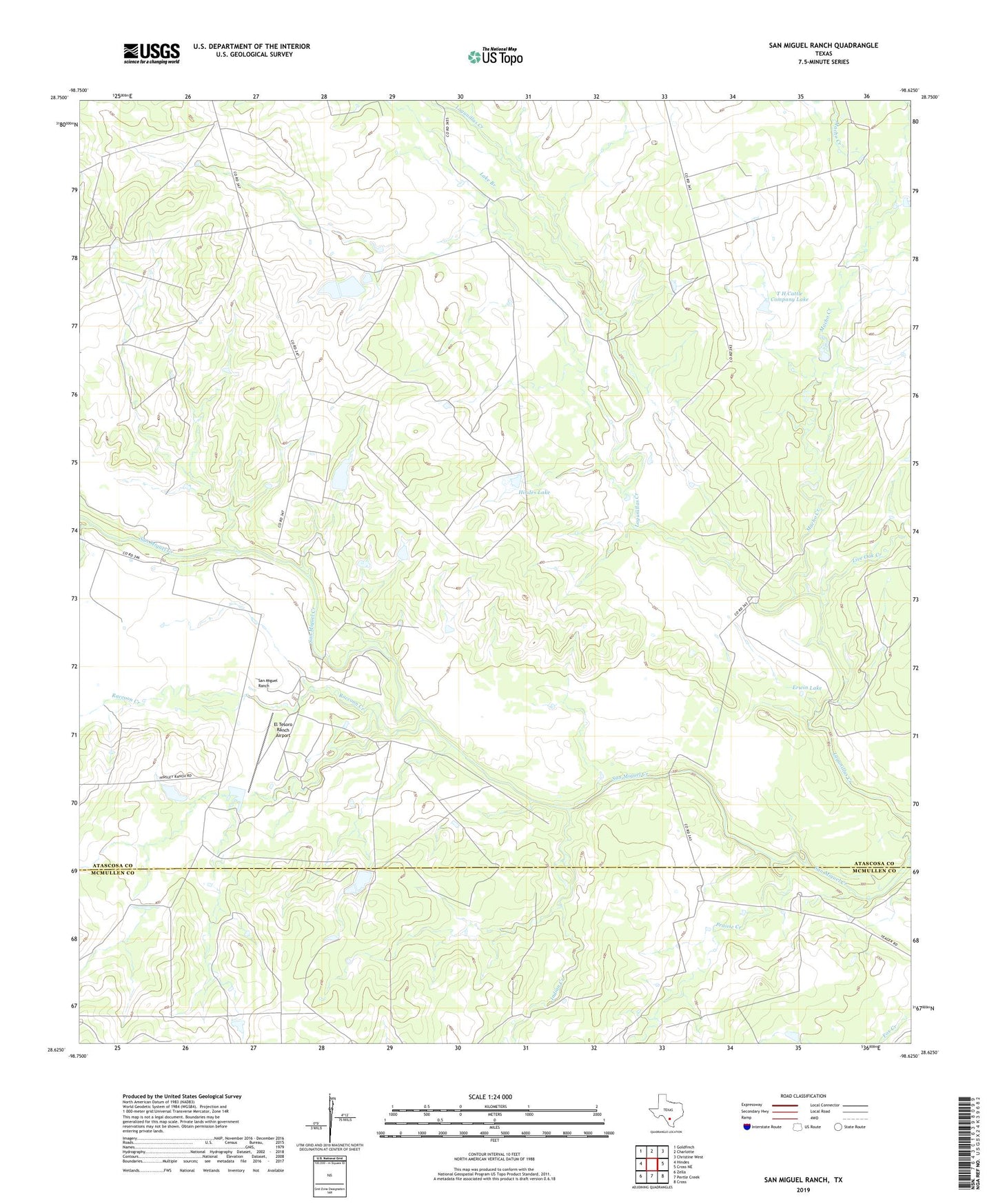
2019 topographic map quadrangle San Miguel Ranch in the state of Texas. Scale: 1:24000. Based on the newly updated USGS 7.5' US Topo map series, this map is in the following counties: Atascosa, McMullen. The map contains contour data, water features, and other items you are used to seeing on USGS maps, but also has updated roads and other features. This is the next generation of topographic maps. Printed on high-quality waterproof paper with UV fade-resistant inks.
Quads adjacent to this one:
West: Hindes
Northwest: Goldfinch
North: Charlotte
Northeast: Christine West
East: Cross NE
Southeast: Cross
South: Pertle Creek
Southwest: Zella
Contains the following named places: El Tesoro Ranch Airport, Erwin Dam, Erwin Lake, Hindes Dam, Hindes Lake, Indian Creek, Lake Branch, Live Oak Creek, Macho Creek, Prairie Creek, Raccoon Creek, San Miguel Ranch, T H Cattle Company Dam, T H Cattle Company Lake