
MyTopo
San Pedro Hill Texas US Topo Map
Couldn't load pickup availability
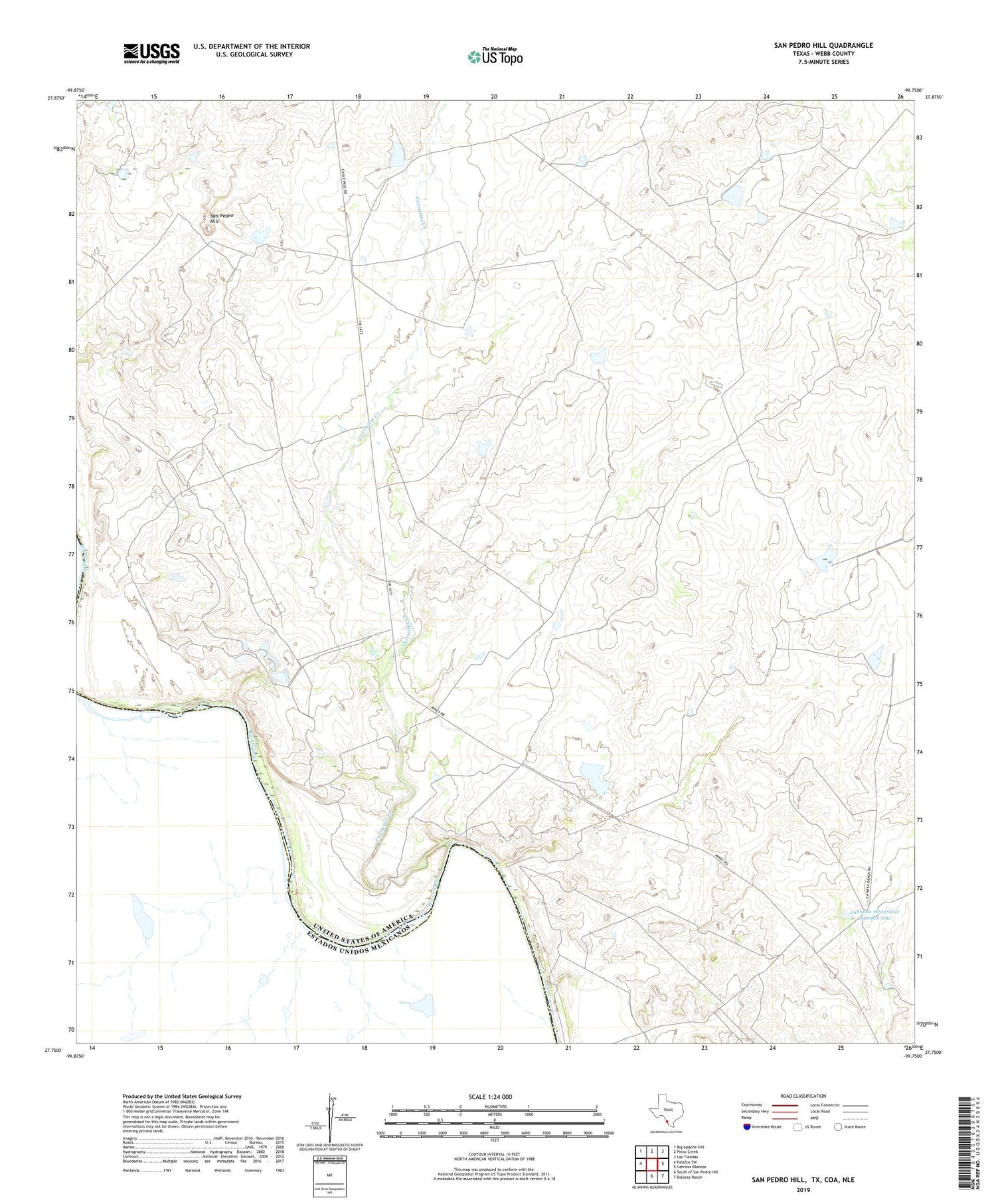
2019 topographic map quadrangle San Pedro Hill in the state of Texas. Scale: 1:24000. Based on the newly updated USGS 7.5' US Topo map series, this map is in the following counties: Webb. The map contains contour data, water features, and other items you are used to seeing on USGS maps, but also has updated roads and other features. This is the next generation of topographic maps. Printed on high-quality waterproof paper with UV fade-resistant inks.
Quads adjacent to this one:
West: Palafox SW
Northwest: Big Apache Hill
North: Pinto Creek
Northeast: Las Tiendas
East: Cerritos Blancos
Southeast: Dolores Ranch
South: South of San Pedro Hill
Contains the following named places: Alexander Ranch, Carricitos Creek, Johnson Waterhole Number One, La Mesa Ranch Lake, La Mesa Ranch Lake Dam, Miller Ranch, Palafox, Perone Ranch, San Pedro Hill, Wayne Ranch


