MyTopo
Solis Texas US Topo Map
Couldn't load pickup availability
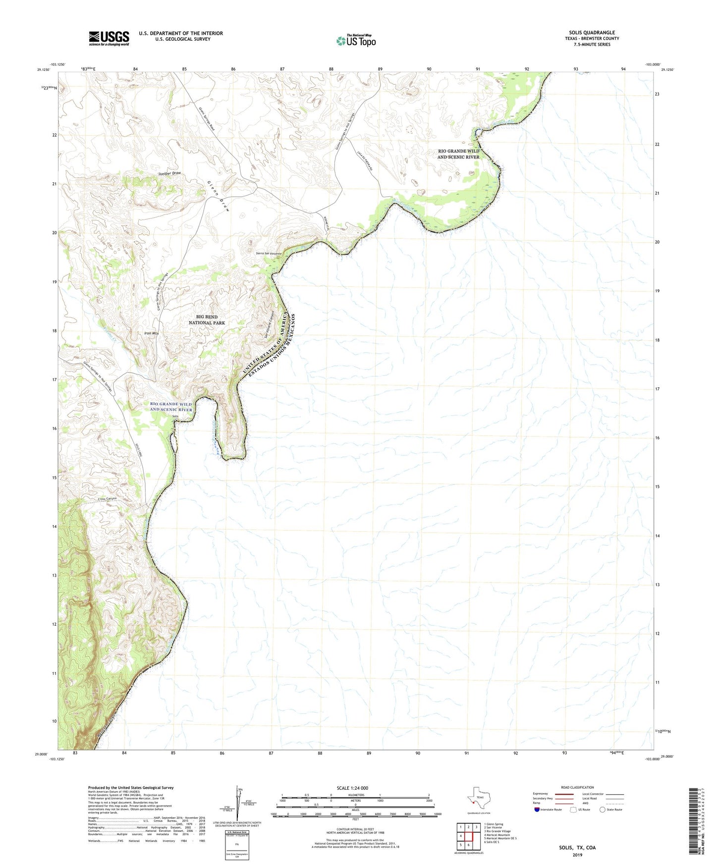
2019 topographic map quadrangle Solis in the state of Texas. Scale: 1:24000. Based on the newly updated USGS 7.5' US Topo map series, this map is in the following counties: Brewster. The map contains contour data, water features, and other items you are used to seeing on USGS maps, but also has updated roads and other features. This is the next generation of topographic maps. Printed on high-quality waterproof paper with UV fade-resistant inks.
Quads adjacent to this one:
West: Mariscal Mountain
Northwest: Glenn Spring
North: San Vicente
Northeast: Rio Grande Village
South: Solis OE S
Southwest: Mariscal Mountain OE S
Contains the following named places: Casa de Piedra, Comptons, Fresno Creek, Glenn Draw, Iron Mountain, Juniper Draw, Mariscal Canyon, Rooneys Place, San Vincent Canyon, Sierra San Vincente, Solis, Solis Landing