MyTopo
Summerfield Texas US Topo Map
Couldn't load pickup availability
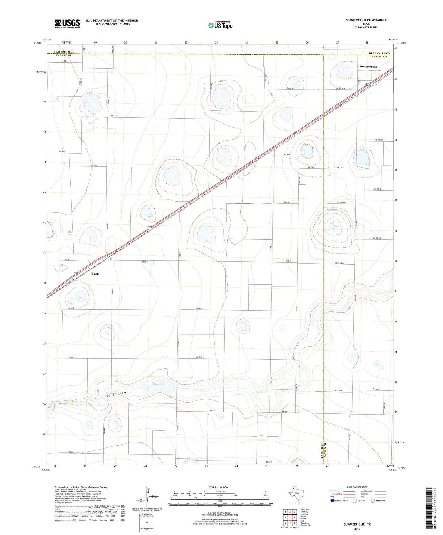
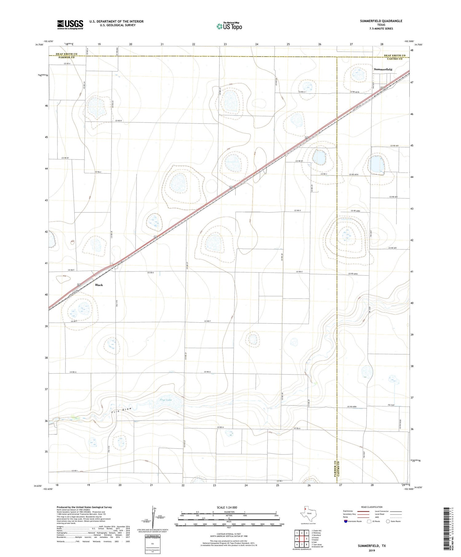
2019 topographic map quadrangle Summerfield in the state of Texas. Scale: 1:24000. Based on the newly updated USGS 7.5' US Topo map series, this map is in the following counties: Parmer, Castro, Deaf Smith. The map contains contour data, water features, and other items you are used to seeing on USGS maps, but also has updated roads and other features. This is the next generation of topographic maps. Printed on high-quality waterproof paper with UV fade-resistant inks.
Quads adjacent to this one:
West: Friona
Northwest: Chalk Hill
North: Westway
Northeast: Hereford
East: Easter
Southeast: Dimmitt SW
South: Tam Anne
Southwest: Hub
Contains the following named places: Bar G Feedyard, Black, Frye Lake, Frye Lake Dam, Summerfield, Summerfield Census Designated Place, ZIP Code: 79085