MyTopo
Dimmitt SW Texas US Topo Map
Couldn't load pickup availability
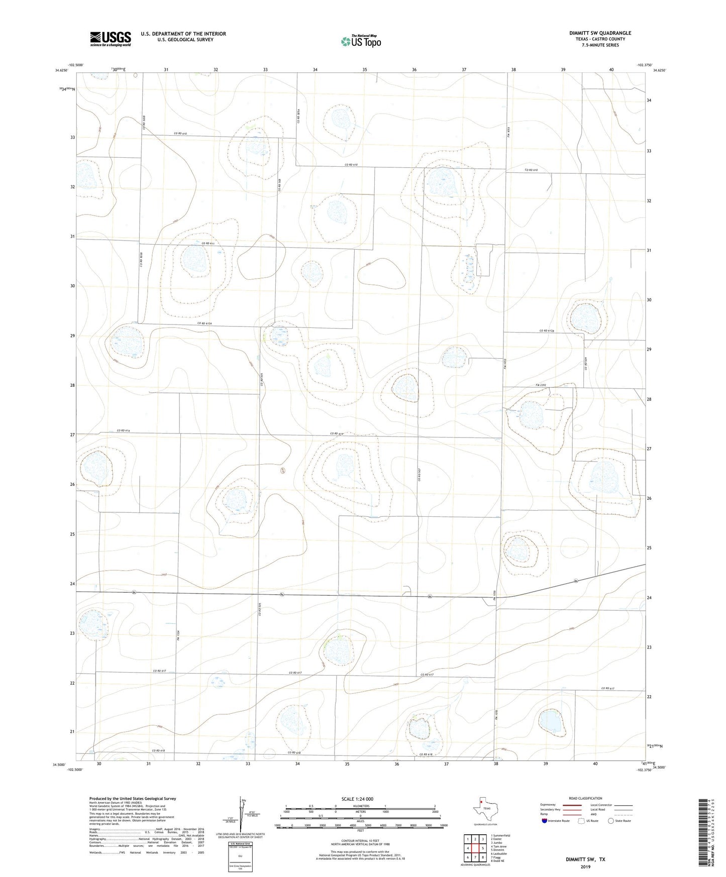
2022 topographic map quadrangle Dimmitt SW in the state of Texas. Scale: 1:24000. Based on the newly updated USGS 7.5' US Topo map series, this map is in the following counties: Castro. The map contains contour data, water features, and other items you are used to seeing on USGS maps, but also has updated roads and other features. This is the next generation of topographic maps. Printed on high-quality waterproof paper with UV fade-resistant inks.
Quads adjacent to this one:
West: Tam Anne
Northwest: Summerfield
North: Easter
Northeast: Jumbo
East: Dimmitt
Southeast: Dodd NE
South: Flagg
Southwest: Lazbuddie
Contains the following named places: Bethel Church, Dimmitt Feed Yard, Playa Lakes Wildlife Management Area - Dimmit Unit