
MyTopo
Swearingen Texas US Topo Map
Couldn't load pickup availability
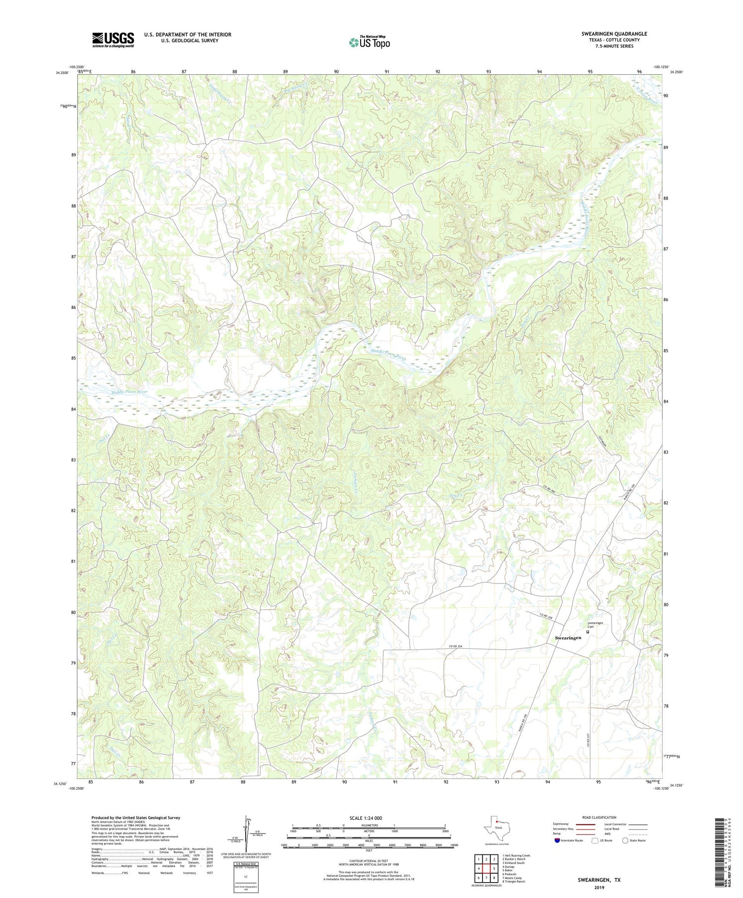
2019 topographic map quadrangle Swearingen in the state of Texas. Scale: 1:24000. Based on the newly updated USGS 7.5' US Topo map series, this map is in the following counties: Cottle. The map contains contour data, water features, and other items you are used to seeing on USGS maps, but also has updated roads and other features. This is the next generation of topographic maps. Printed on high-quality waterproof paper with UV fade-resistant inks.
Quads adjacent to this one:
West: Dunlap
Northwest: Hell Roaring Creek
North: Buckle L Ranch
Northeast: Kirkland South
East: Baker
Southeast: Triangle Ranch
South: Moons Camp
Southwest: Paducah
Contains the following named places: Dry Creek, Jackson Creek, Owl Creek, Swearingen, Swearingen Cemetery, Wilson Airport


