MyTopo
Turnbaugh Corner Texas US Topo Map
Couldn't load pickup availability
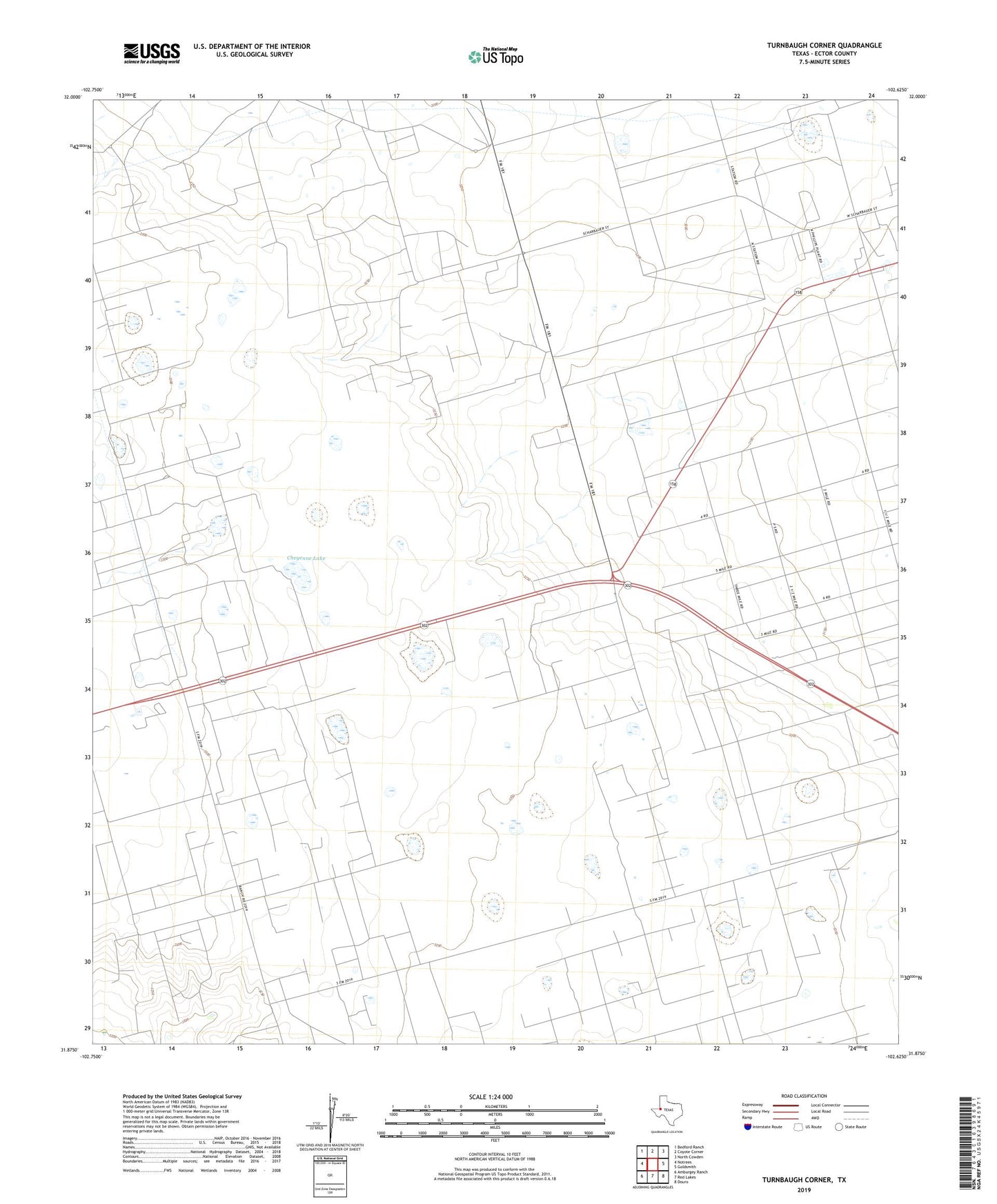
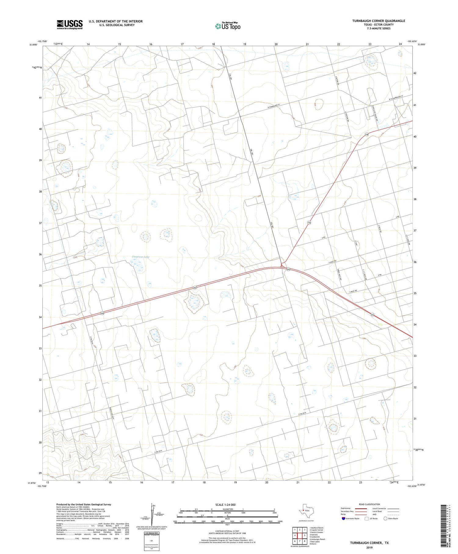
2019 topographic map quadrangle Turnbaugh Corner in the state of Texas. Scale: 1:24000. Based on the newly updated USGS 7.5' US Topo map series, this map is in the following counties: Ector. The map contains contour data, water features, and other items you are used to seeing on USGS maps, but also has updated roads and other features. This is the next generation of topographic maps. Printed on high-quality waterproof paper with UV fade-resistant inks.
Quads adjacent to this one:
West: Notrees
Northwest: Bedford Ranch
North: Coyote Corner
Northeast: North Cowden
East: Goldsmith
Southeast: Douro
South: Red Lakes
Southwest: Amburgey Ranch
Contains the following named places: Cheyenne Lake, East Windmill, Goldsmith Oil Field, Goldsmith Plant, Lawson Oil Field, Northeast Windmill, Northwest Well, Old South Windmill, Slator Ranch, South Windmill, Southwest Windmill, T X L Oil Field, Turnbaugh Corner, West Windmill, ZIP Code: 79741