MyTopo
Vincent Texas US Topo Map
Couldn't load pickup availability
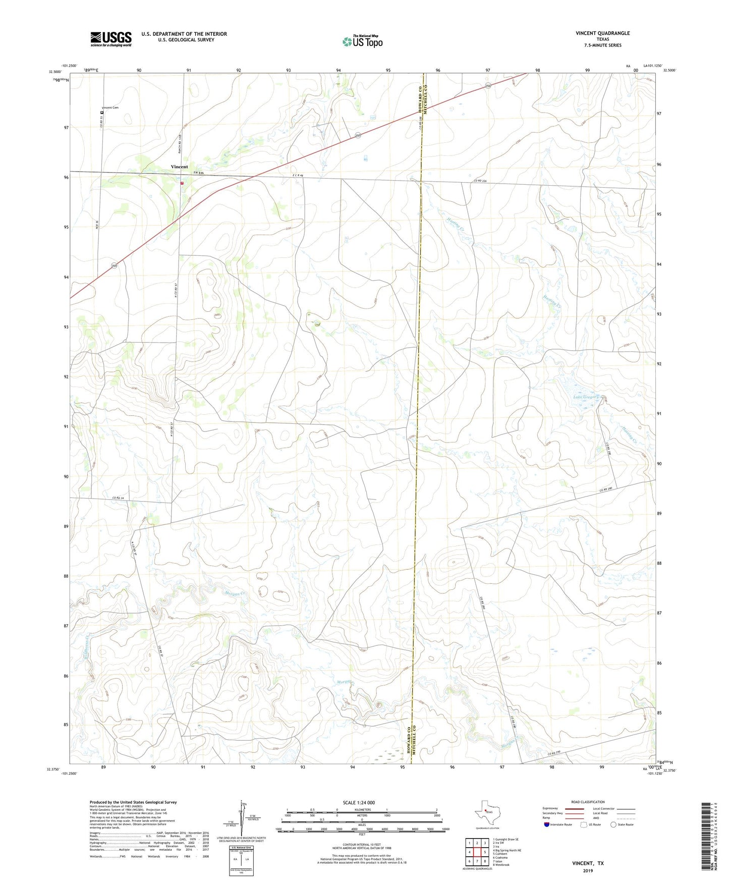
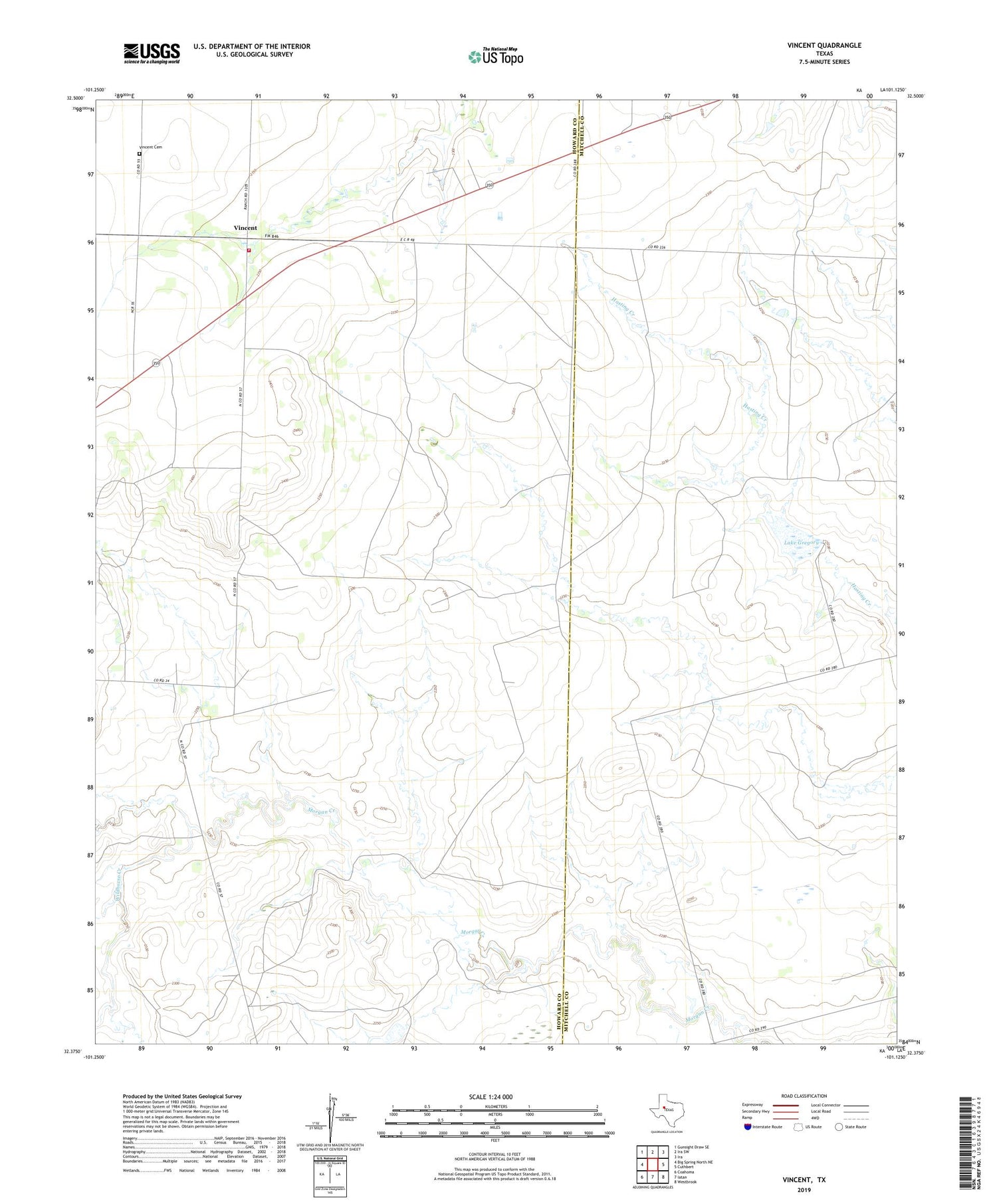
2019 topographic map quadrangle Vincent in the state of Texas. Scale: 1:24000. Based on the newly updated USGS 7.5' US Topo map series, this map is in the following counties: Howard, Mitchell. The map contains contour data, water features, and other items you are used to seeing on USGS maps, but also has updated roads and other features. This is the next generation of topographic maps. Printed on high-quality waterproof paper with UV fade-resistant inks.
Quads adjacent to this one:
West: Big Spring North NE
Northwest: Gunsight Draw SE
North: Ira SW
Northeast: Ira
East: Cuthbert
Southeast: Westbrook
South: Iatan
Southwest: Coahoma
Contains the following named places: Gregory Lake Dam, Howard County Volunteer Fire Department Vincent, Lake Gregory, Vincent, Vincent Cemetery, Wildhorse Creek