MyTopo
Woodson Texas US Topo Map
Couldn't load pickup availability
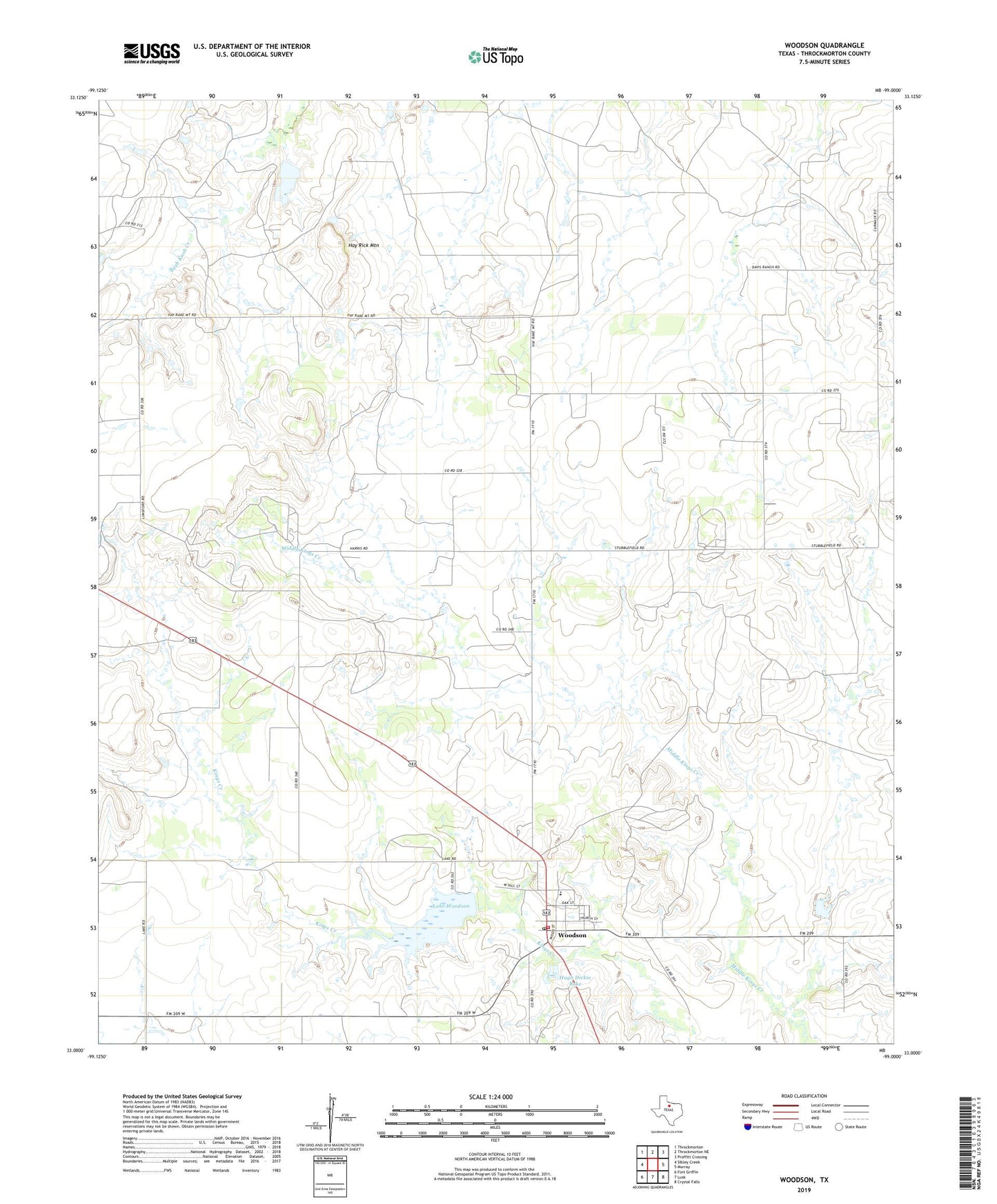
2019 topographic map quadrangle Woodson in the state of Texas. Scale: 1:24000. Based on the newly updated USGS 7.5' US Topo map series, this map is in the following counties: Throckmorton. The map contains contour data, water features, and other items you are used to seeing on USGS maps, but also has updated roads and other features. This is the next generation of topographic maps. Printed on high-quality waterproof paper with UV fade-resistant inks.
Quads adjacent to this one:
West: Sibley Creek
Northwest: Throckmorton
North: Throckmorton NE
Northeast: Proffitt Crossing
East: Murray
Southeast: Crystal Falls
South: Lusk
Southwest: Fort Griffin
Contains the following named places: Hay Rick Mountain, Hugh Dickie Lake, Hugh Dickie Lake Dam, Lake Woodson, Lake Woodson Dam, McKnight Lake, McKnight Lake Dam, Town of Woodson, Woodson, Woodson Division, Woodson Fire Department, Woodson Post Office, Woodson Town Hall, ZIP Code: 76491